
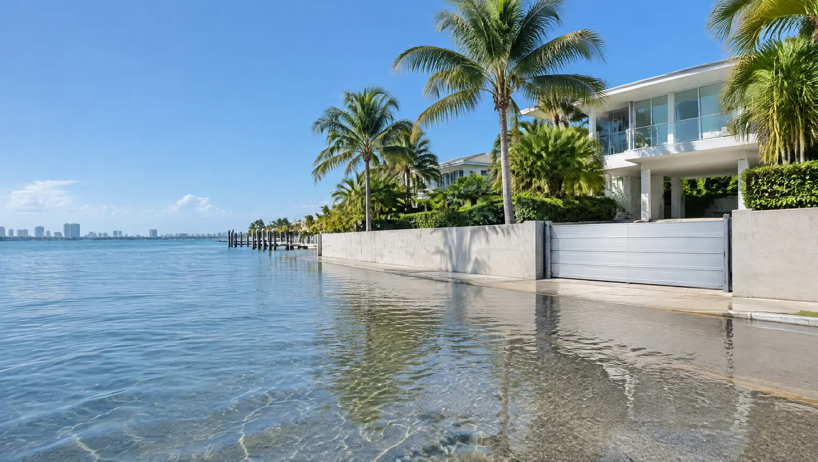
Flood protection in Islamorada
Islamorada flood protection planned with the 2005 flood maps and the pending new ones.
Free Fast Quote
Please fill out this form to request a free quote on your upcoming project and we will respond to you right away!
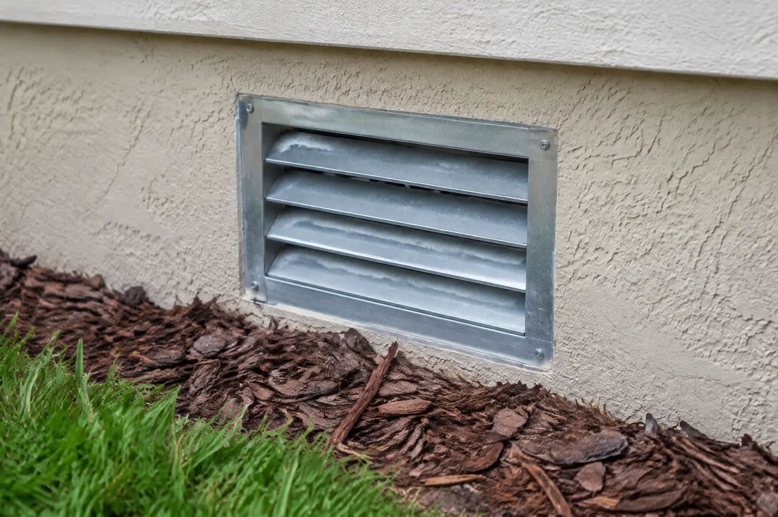
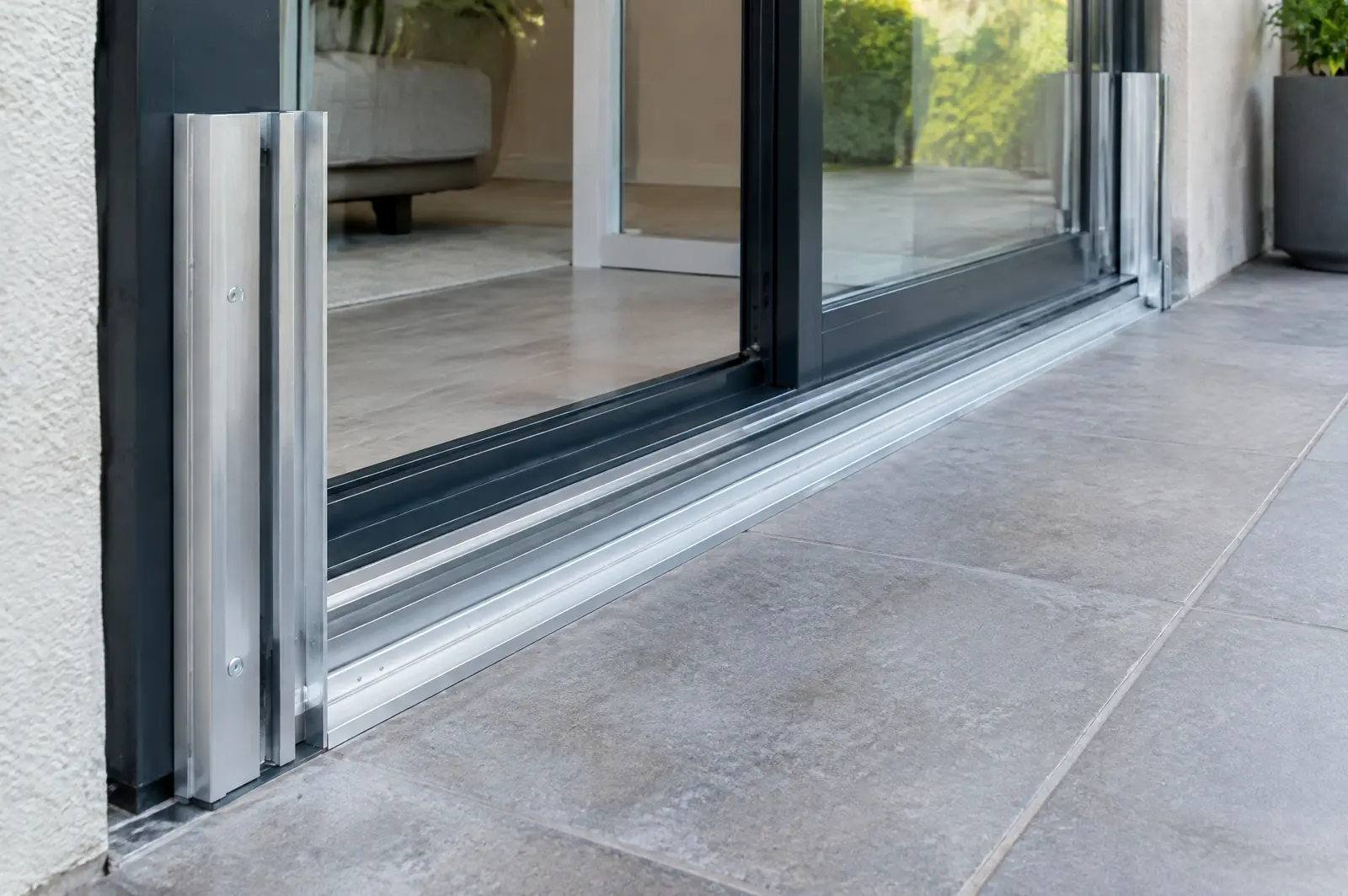
Removable barriers and panels for doors and garages, and flood vents for enclosures below the flood level, fitted alongside your seawall plan.
- Free, no-obligation quote
- Fast response from our team
- Miami-Dade, Broward, Palm Beach and the Keys
The short answer
Islamorada's effective flood maps date from 18 February 2005, and FEMA has not yet set a date for the preliminary maps appealed in 2021. In Islamorada, NGVD29 and NAVD88 elevations differ by about 1.5 ft on average, so old and new drawings must be converted before comparing.
Last updated
Flood maps from 2005, new ones pending
Islamorada still builds to effective flood maps dated 18 February 2005. Preliminary maps went through appeals between March and June 2021, FEMA has not announced when they take effect, and the Village has promised six months' notice once it does.
Flood protection is designed around that flood zone and insurance picture.[1]
Watch the datum: about 1.5 ft
The Village notes that converting from NGVD29 to NAVD88 shifts elevations by about -1.5 ft on average in Monroe County, and the shift varies from place to place. Old plans and new maps use different datums, so a cap or floor height has to be converted before anyone compares numbers.
The seawall stops tidal overtopping; barriers and vents protect the building behind it.[1]
Bay side and ocean side tides differ fourfold
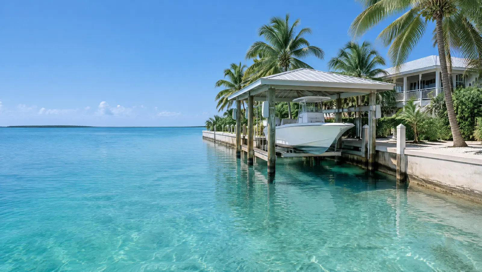
NOAA's Florida Bay gauge at Upper Matecumbe Key shows a great diurnal range of only 0.61 ft, with mean higher high water about 0.41 ft below NAVD 88, while the Hawk Channel gauge a short way across the key shows 2.28 ft (1983 to 2001 epoch). A lift or floating dock sized for one side of Islamorada is wrong for the other.
Tide and king tide levels show how often water reaches the property today.[2][3]
What makes Islamorada different
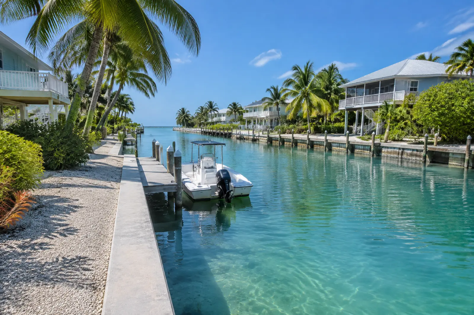
Principal buildings sit 20 ft from the mean high water line on altered shorelines such as canals, 30 ft on open water with conditions, and 50 ft on unaltered shorelines. Docks, lifts, davits, seawalls and riprap are water-dependent structures that may sit inside that setback under the Village's standards.[4]
Sanctuary and manatee layers
The federal small-project permit, SPGP VI, required Sanctuary sign-off before any Islamorada project in Keys waters, and crews follow the state manatee conditions on every in-water job.[5][6]
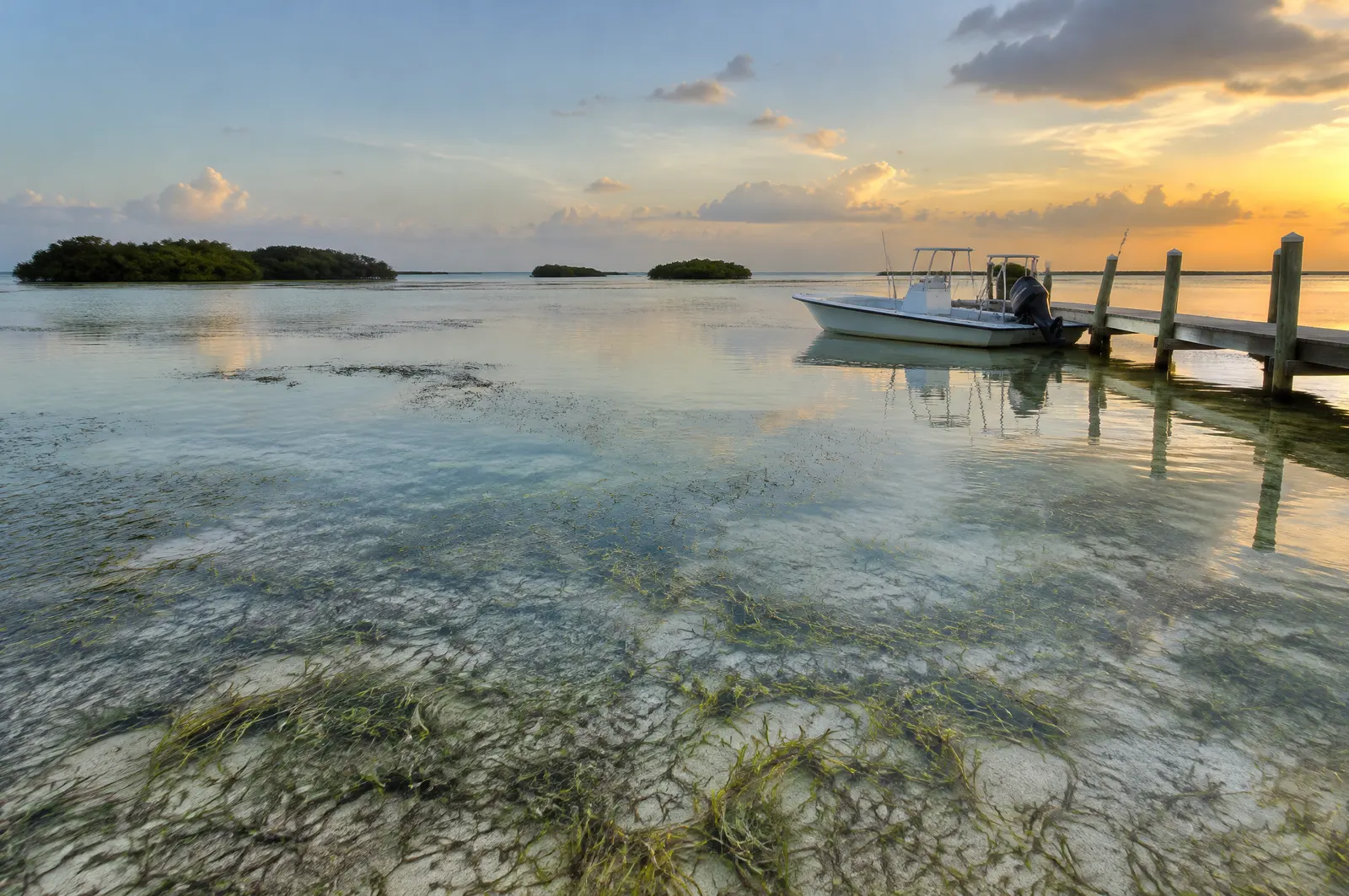
Permits for flood protection in Islamorada
- Islamorada, Village of Islands, Planning and Development Services: Docks, lifts and shoreline structures under Village Code Chapter 30.
- Florida Keys National Marine Sanctuary: Sanctuary waters surround every Islamorada key from the mean high water mark; we confirm what Sanctuary approval each project needs.
- Florida DEP or South Florida Water Management District: State permit or exemption; part of the Village's water is the Lignumvitae Key Aquatic Preserve.
- US Army Corps of Engineers, Jacksonville District: Federal authorisation for work in the Sanctuary waters around the Village.
Why a seawall alone does not stop flooding
Miami Beach notes that groundwater rises through the porous limestone under the city, so seawalls by themselves cannot stop flooding. Barriers, vents and drainage each handle a different path the water takes.[7]
Frequently asked questions
Which flood maps apply in Islamorada?
The effective maps dated 18 February 2005. Preliminary maps were appealed in 2021; FEMA will give six months' notice before they take effect.
Why do elevations on old Islamorada plans look different?
They may be in NGVD29. The Village says converting to NAVD88 shifts elevations by about -1.5 ft on average in Monroe County.
Why does it matter which side of Islamorada I live on?
Because the tide is very different: about 0.61 ft great diurnal range on Florida Bay and 2.28 ft on Hawk Channel, per NOAA gauges at Upper Matecumbe Key.
Sources
- Floodplain Management, Islamorada, Village of Islands, Building Department. Accessed October 28, 2026.
- Datums for station 8723808, Islamorada, Upper Matecumbe Key, Florida Bay (tidal epoch 1983 to 2001), NOAA Center for Operational Oceanographic Products and Services (CO-OPS), Tides and Currents. Accessed October 28, 2026.
- Datums for station 8723814, Upper Matecumbe Key, Hawk Channel (tidal epoch 1983 to 2001), NOAA Center for Operational Oceanographic Products and Services (CO-OPS), Tides and Currents. Accessed October 28, 2026.
- Ordinance No. 24-15 amending Village Code Sec. 30-1542 Shoreline Setback, with Department of Commerce Final Order COM-24-043, Islamorada, Village of Islands. Accessed October 28, 2026.
- Department of the Army State Programmatic General Permit VI (SPGP VI), SAJ-2015-2575, State of Florida, U.S. Army Corps of Engineers, Jacksonville District (document hosted by Florida DEP). Accessed October 27, 2026.
- Standard Manatee Conditions for In-Water Work (2011), Florida Fish and Wildlife Conservation Commission (FWC). Accessed October 27, 2026.
- Rising Above the Risk: Frequently Asked Questions (05/05/2017), City of Miami Beach. Accessed October 27, 2026.
Get a free quote
Tell us about your project and we will get back to you fast.