
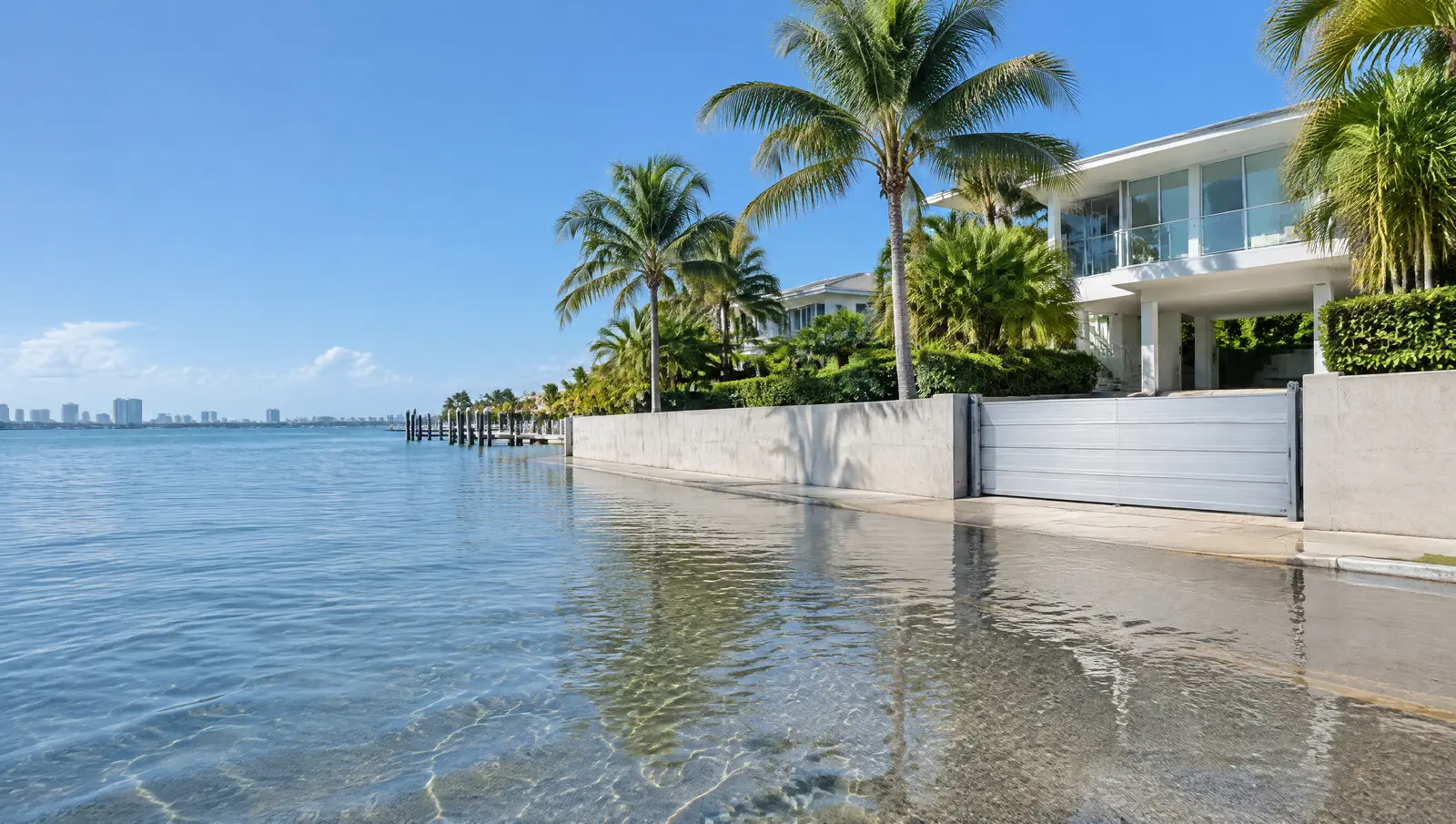
Flood protection in Jupiter
Jupiter flood protection planned with the December 2024 flood maps.
Free Fast Quote
Please fill out this form to request a free quote on your upcoming project and we will respond to you right away!
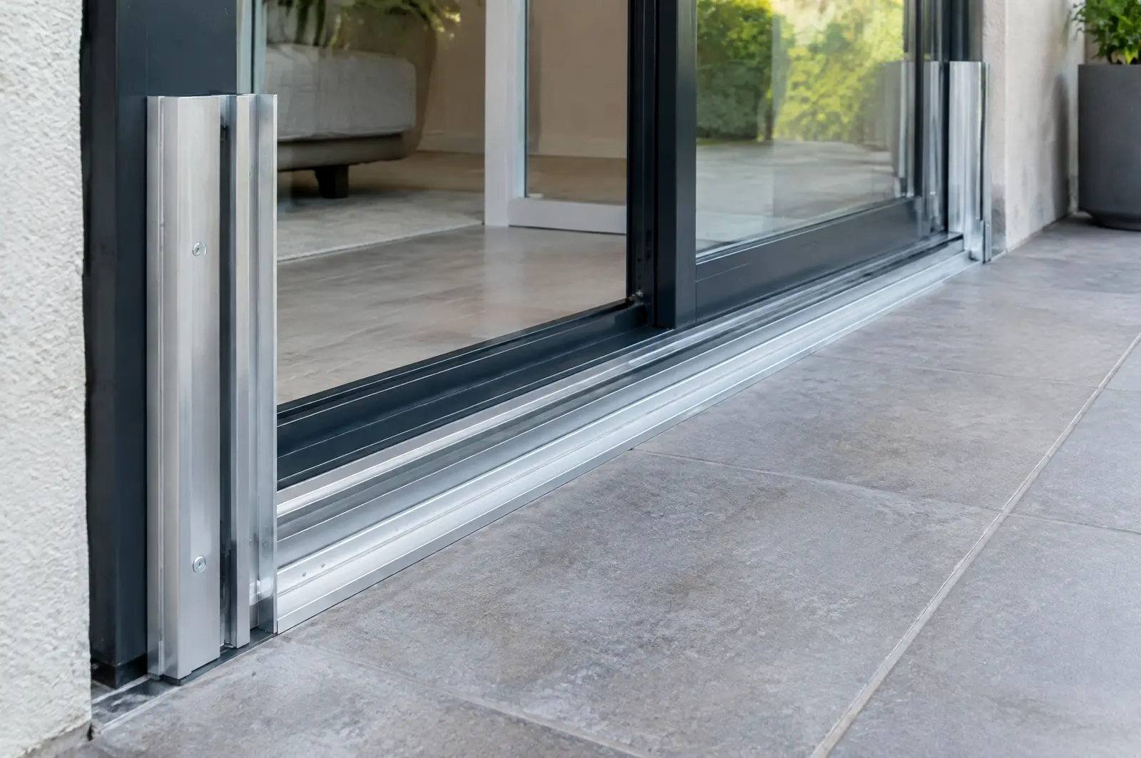
Removable barriers and panels for doors and garages, and flood vents for enclosures below the flood level, fitted alongside your seawall plan.
- Free, no-obligation quote
- Fast response from our team
- Miami-Dade, Broward, Palm Beach and the Keys
The short answer
Jupiter's current FEMA flood maps took effect on 20 December 2024, and the Town says its scattered flood areas put every property at some risk. Jupiter's Building Department will visit a home to advise on flood panels, berms and walls, and work over 50% of a building's value triggers full code compliance.
Last updated
New flood maps since December 2024
FEMA's new flood maps for Jupiter took effect on 20 December 2024, and the Town warns that its flood hazard areas are scattered, so every property can flood. Owners whose zone changed may need to adjust their insurance, and that zone decides whether vents or barriers are required or simply sensible.
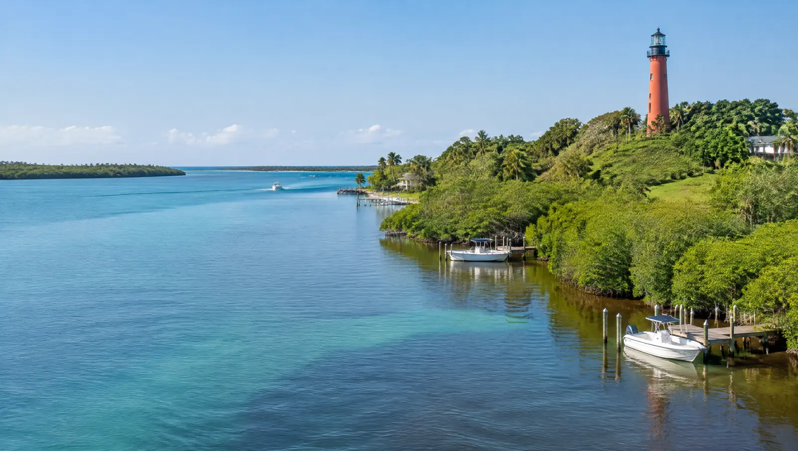
Flood protection is designed around that flood zone and insurance picture.[1]
Free advice from Town staff
Town staff will visit a property to review flood concerns and can advise on flood panels, berms, flood walls and raising structures. In a Special Flood Hazard Zone, work costing 50% or more of the building's market value is a substantial improvement and must bring the whole building to current code.[2]
A cap no higher than base flood elevation
Jupiter caps seawalls from above: the top of the concrete cap, in NAVD, must be at or below the property's base flood elevation (Code 27-2624(8)). Since FEMA's new maps took effect on 20 December 2024, the BFE on the current map is the number to check before a cap is designed.
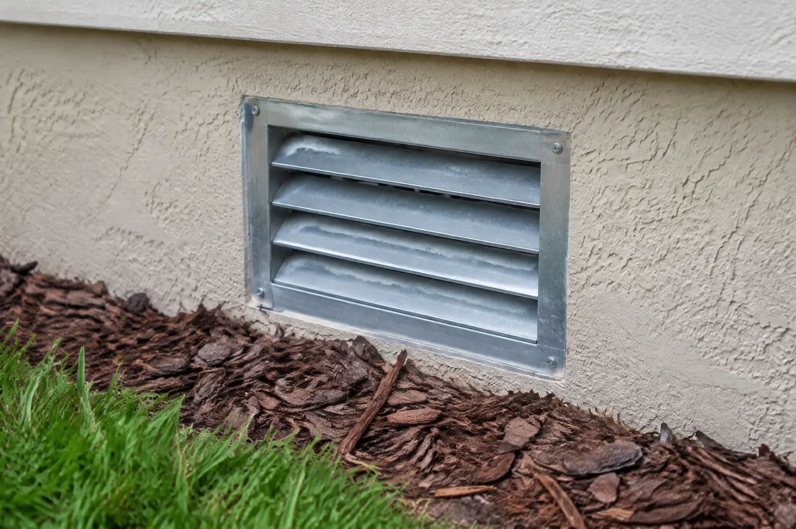
The seawall stops tidal overtopping; barriers and vents protect the building behind it.[3][1]
Inlet tide on the Loxahatchee
NOAA's Jupiter Inlet south jetty station records a 2.39 ft mean range and a 2.75 ft great diurnal range, with mean higher high water about 0.19 ft above NAVD 88 (1983 to 2001 epoch). Lift travel and floating dock gangways near the inlet are planned from this gauge.
Tide and king tide levels show how often water reaches the property today.[4]
What makes Jupiter different
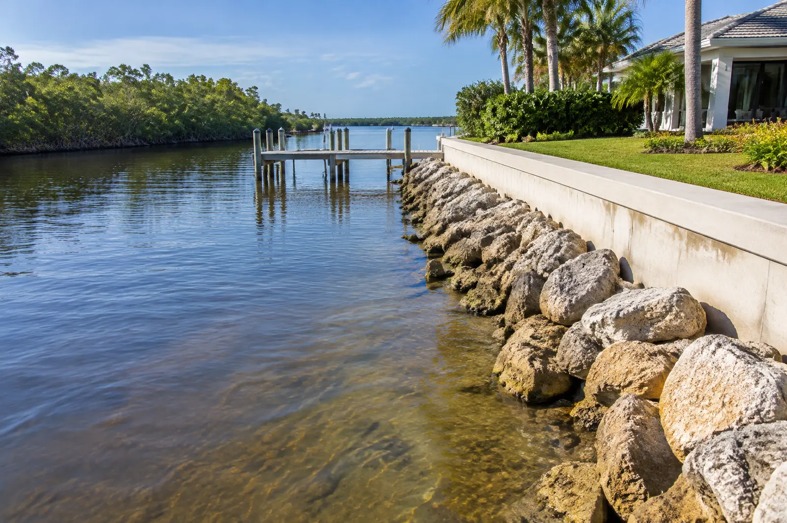
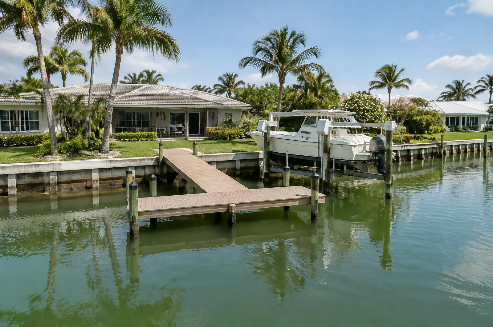
Town Code 27-2626 keeps half of every waterway clear: a centreline channel of 50% of the waterway width must stay unobstructed, or at least a 15 ft channel where that cannot be met. Only rectangular, T and L shaped docks are allowed unless the Planning and Zoning Director approves another shape.[6]
Who approves what
The Town's checklists ask for FDEP self-certification or exemption verification, Army Corps approval if not included in the DEP decision, and SFWMD approval for structures on submerged lands or in natural waterways such as the Loxahatchee River, the Intracoastal Waterway and Sawfish Bay.[3][5]
Permits for flood protection in Jupiter
- Town of Jupiter Building and Planning and Zoning: Marine structure permits; dock waivers under Town Code 27-2626.
- Florida DEP or South Florida Water Management District: FDEP self-certification or exemption verification for canal docks; SFWMD approval for structures in the Loxahatchee River, the Intracoastal and Sawfish Bay.
- US Army Corps of Engineers, Jacksonville District: Army Corps approval where the FDEP decision does not include it, as the Town checklists note.
Why a seawall alone does not stop flooding
Miami Beach notes that groundwater rises through the porous limestone under the city, so seawalls by themselves cannot stop flooding. Barriers, vents and drainage each handle a different path the water takes.[7]
Frequently asked questions
Did Jupiter's flood zones change recently?
Yes. FEMA's new flood zone maps took effect on 20 December 2024. Check your zone, because insurance and building requirements follow it.
Can the Town of Jupiter advise me on flood protection?
Yes. Staff will visit a site and advise on flood panels, berms, flood walls and elevating structures.
Is there a maximum seawall height in Jupiter?
Yes. The top of the cap in NAVD must be less than or equal to the property's base flood elevation (Code 27-2624(8)).
How much does the tide move in Jupiter?
At NOAA's Jupiter Inlet south jetty station, a 2.39 ft mean range and a 2.75 ft great diurnal range (1983 to 2001 epoch).
Sources
- Flood Zones and Insurance Information, Town of Jupiter. Accessed October 28, 2026.
- Flood Mitigation Advice, Town of Jupiter. Accessed October 28, 2026.
- Marine Structure: Seawalls permit checklist (revised January 2021), Town of Jupiter Building Department. Accessed October 28, 2026.
- Datums for station 8722495, Jupiter Inlet, south jetty (tidal epoch 1983 to 2001), NOAA Center for Operational Oceanographic Products and Services (CO-OPS), Tides and Currents. Accessed October 28, 2026.
- Marine Structure: Docks permit checklist (revised January 2021), Town of Jupiter Building Department. Accessed October 28, 2026.
- Application for Dock Waiver (form dated 14 Mar 2016, quoting Town Code 27-2626), Town of Jupiter Department of Planning and Zoning. Accessed October 28, 2026.
- Rising Above the Risk: Frequently Asked Questions (05/05/2017), City of Miami Beach. Accessed October 27, 2026.
Get a free quote
Tell us about your project and we will get back to you fast.