
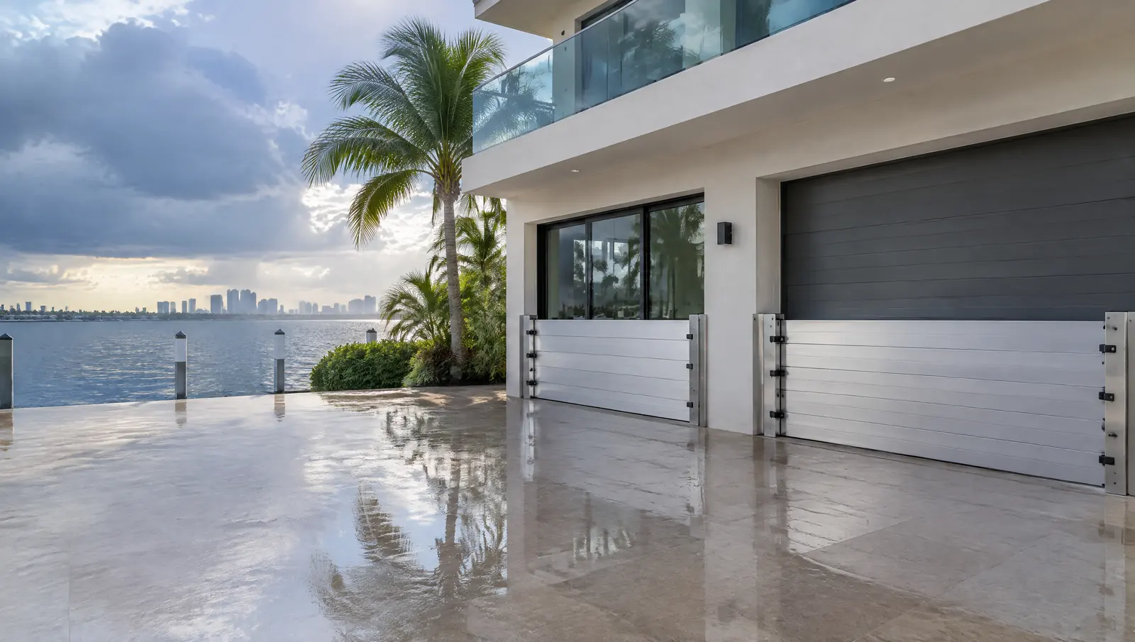
Flood barriers and panels in Key Largo
Flood barriers and panels in Key Largo, for homes in unincorporated Monroe, a Class 3 flood insurance area.
Free Fast Quote
Please fill out this form to request a free quote on your upcoming project and we will respond to you right away!
We measure each opening, fit tracks or mounts, and supply panels you can put up before a storm or king tide.
- Free, no-obligation quote
- Fast response from our team
- Miami-Dade, Broward, Palm Beach and the Keys
The short answer
Key Largo falls under unincorporated Monroe County, a Class 3 Community Rating System community. In Key Largo new vertical seawalls are allowed only on man-made canals and basins, while existing walls can be repaired or replaced on the same footprint.
Last updated
Who this is for
Owners whose doors or garage sit close to the water level at king tides or in storm surge.
Class 3 for unincorporated Monroe
Key Largo is unincorporated, so it shares Monroe County's flood insurance rating, and the County lists its current Community Rating System class as 3. Monroe takes part in the program on behalf of homeowners in unincorporated areas, and the discount depends on whether a home is inside the Special Flood Hazard Area.
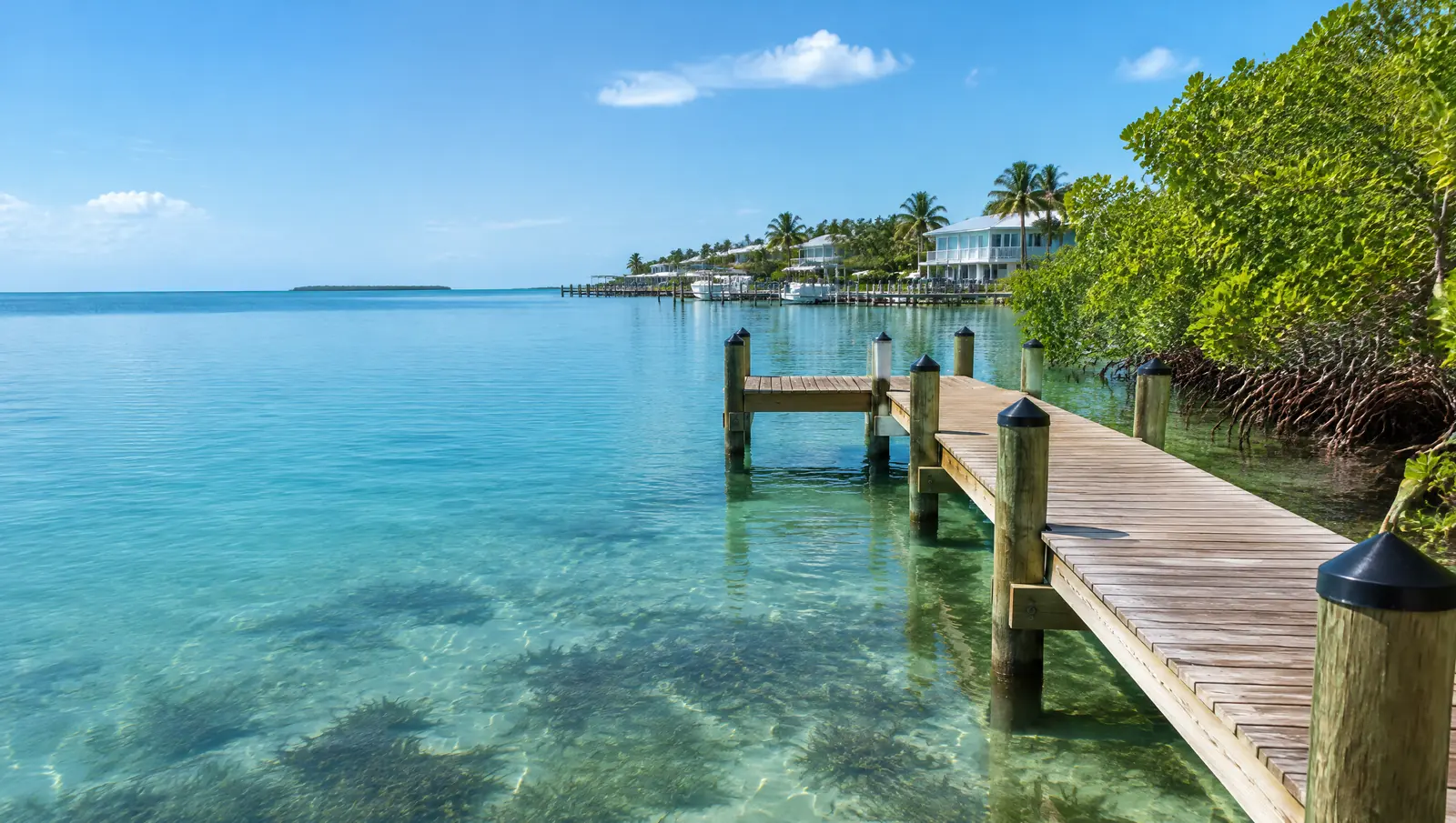
Barriers are sized to the flood level for your zone, and residential homes cannot rely on dry floodproofing below the base flood elevation.[1]
Where a seawall is allowed at all
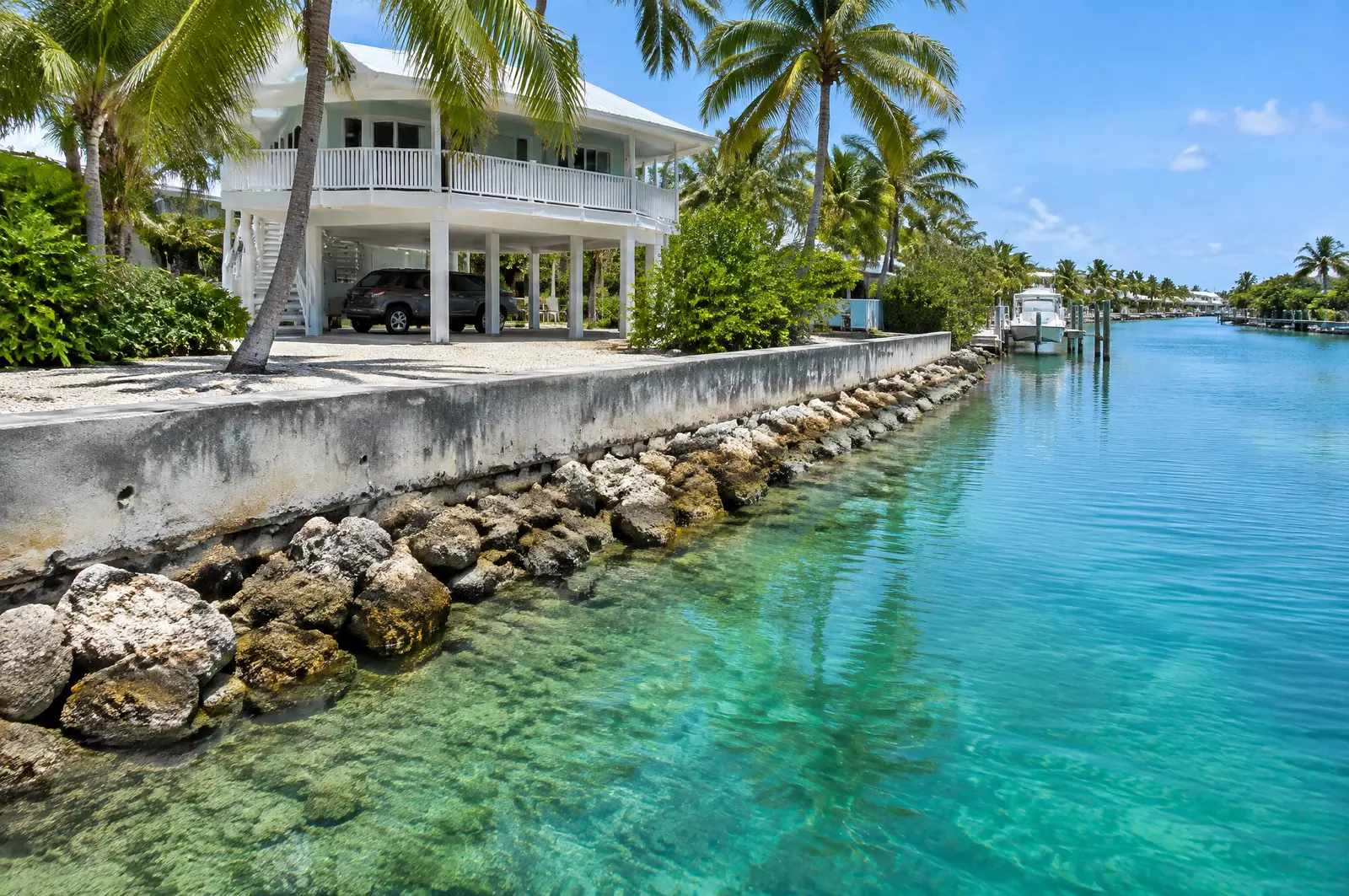
Monroe County allows vertical seawalls only to stabilise severely eroding shorelines on man-made canals, channels or basins, and never on open water. Lawfully existing walls may be repaired or replaced on the same footprint, the yard behind must sit at least 6 in below the top of the wall, and riprap goes at the toe wherever feasible.
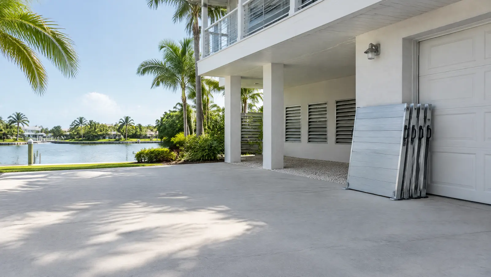
Barriers and a raised wall work together: one at the property edge, one at the doors.[2]
Ocean side tide at Rock Harbor
NOAA's Rock Harbor station on the Atlantic side of Key Largo records a 2.09 ft mean range and a 2.37 ft great diurnal range, with mean higher high water about 0.25 ft above NAVD 88 (1983 to 2001 epoch). There is no NOAA datum station on the bay side near Key Largo, so for bay side lots we measure the water on site.
King tides show how often barriers will need to go up.[3]
What makes Key Largo different
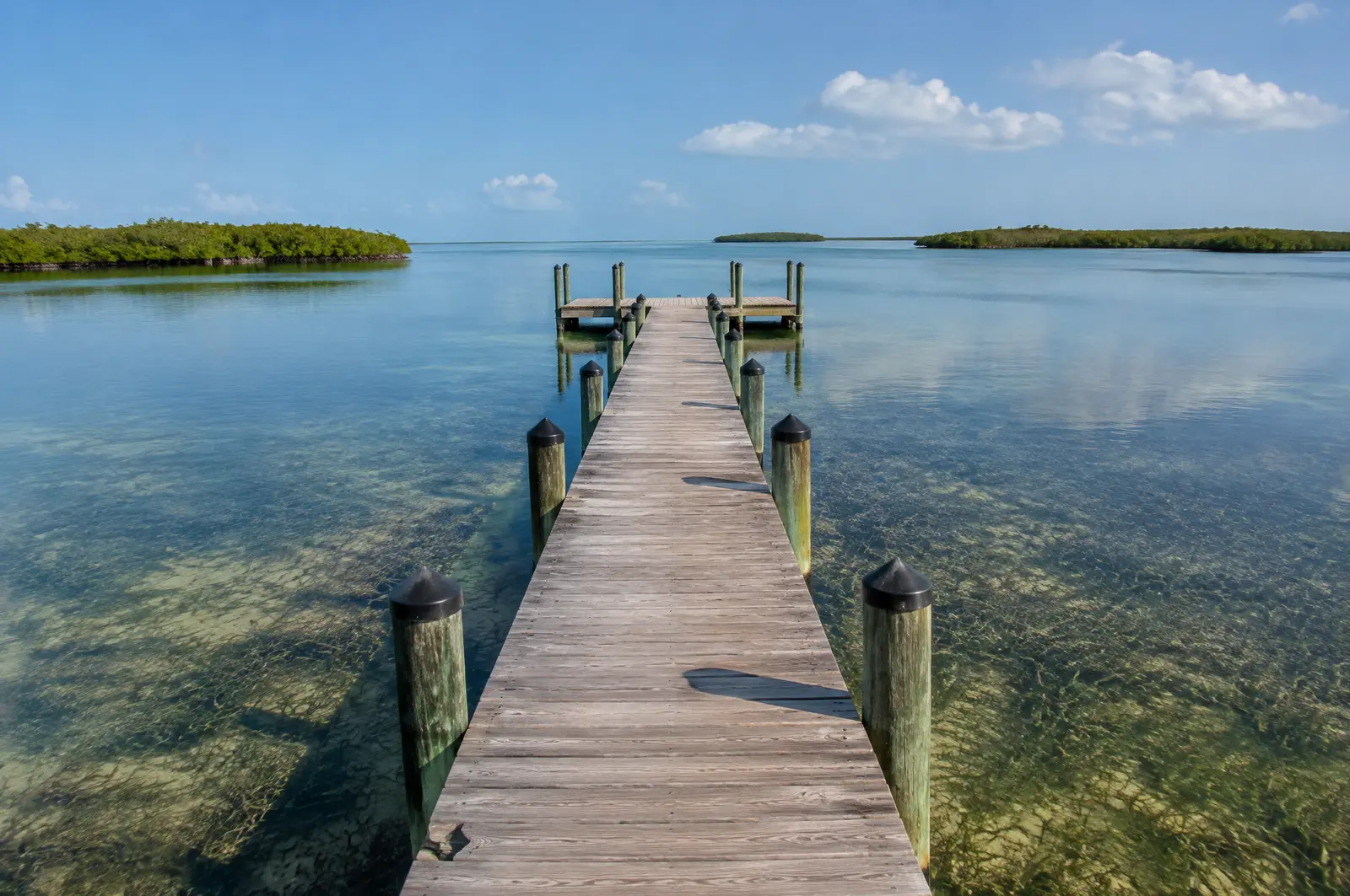
The special exception application asks owners to describe the submerged lands the dock crosses, such as sand, seagrass or coral, and the minimum extra length needed to reach adequate water depth. The site plan must be prepared by a Florida registered architect, engineer or landscape architect and show the mean high water line and shoreline setbacks.[4]
Sanctuary, seagrass and manatees
Projects inside the Florida Keys National Marine Sanctuary needed prior Sanctuary approval under SPGP VI. The same permit let boat lifts and minor structures in Monroe County go into existing boat slips without a seagrass survey. All in-water work follows the state manatee conditions.[5][6]
Permits in Key Largo
- Monroe County Planning and Environmental Resources Department: Dock length special exceptions under County Code section 118-12(m)(15).
- Florida Keys National Marine Sanctuary: The Sanctuary starts at mean high water, so Key Largo canal and bay work is inside it; SPGP VI required its prior approval.
- Florida DEP or South Florida Water Management District: State permit or exemption, which Monroe County needs to see before it issues a Notice to Proceed for docks, seawalls and ramps.
- US Army Corps of Engineers, Jacksonville District: Federal permit, also required before the County's Notice to Proceed.
What we fit
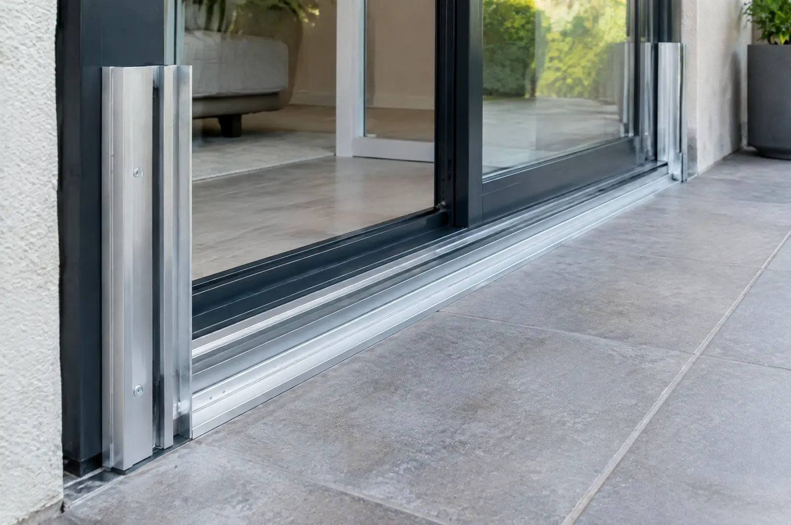
- Removable aluminium panels in side tracks
- Barriers for garage openings
- Seals and storage racks
- A deployment plan so you can put them up quickly
Frequently asked questions
What flood insurance class applies in Key Largo?
Key Largo is unincorporated Monroe County, which lists Community Rating System Class 3. The discount varies with your flood zone.
Can I build a new seawall in Key Largo?
Only on a man-made canal, channel or basin to stop severe erosion, and only if plants or riprap will not work. Existing lawful walls can be repaired or replaced on the same footprint.
How much tide is there in Key Largo?
On the Atlantic side, NOAA's Rock Harbor gauge shows a 2.09 ft mean range and a 2.37 ft great diurnal range. On the bay side we measure on site.
Sources
- Community Rating System (CRS), Monroe County, Florida. Accessed October 28, 2026.
- Monroe County Land Development Code, Sec. 118-12 Shoreline Setback, subsections (k) Bulkheads, seawalls and riprap and (m) Docking facilities (third-party code copy), Monroe County, Florida (text reproduced by Zoneomics; the official Municode copy blocked automated access). Accessed October 28, 2026.
- Datums for station 8723689, Rock Harbor, Key Largo (tidal epoch 1983 to 2001), NOAA Center for Operational Oceanographic Products and Services (CO-OPS), Tides and Currents. Accessed October 28, 2026.
- Dock Length Special Exception Application (Last revised August 2026), Monroe County Planning and Environmental Resources Department. Accessed October 27, 2026.
- Department of the Army State Programmatic General Permit VI (SPGP VI), SAJ-2015-2575, State of Florida, U.S. Army Corps of Engineers, Jacksonville District (document hosted by Florida DEP). Accessed October 27, 2026.
- Standard Manatee Conditions for In-Water Work (2011), Florida Fish and Wildlife Conservation Commission (FWC). Accessed October 27, 2026.
- Floodproofing (glossary), Federal Emergency Management Agency (FEMA). Accessed October 27, 2026.
- Rising Above the Risk: Frequently Asked Questions (05/05/2017), City of Miami Beach. Accessed October 27, 2026.
Get a free quote
Tell us about your project and we will get back to you fast.