
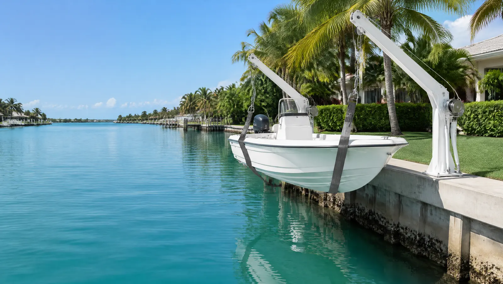
Boat davits in Islamorada
Boat davits in Islamorada, since boats may launch only from lawful docks and ramps.
Free Fast Quote
Please fill out this form to request a free quote on your upcoming project and we will respond to you right away!
We mount davits on seawalls and docks, check the wall can carry the load and handle the permit.
- Free, no-obligation quote
- Fast response from our team
- Miami-Dade, Broward, Palm Beach and the Keys
The short answer
Islamorada lets motorised watercraft launch only from lawful docks and ramps, with private ramps capped at 20 ft wide. Islamorada allows covered boat lifts only over cut-in slips on man-made canals, with roofs no more than 12 ft above grade (Ordinance 24-15).
Last updated
Who davits suit
Owners of tenders, small boats and jet skis with a sound seawall or dock and limited room for a lift slip.
Launching only from lawful docks and ramps
Motorised watercraft in Islamorada may be launched or taken out only at lawfully existing docks and ramps, and a private boat ramp may be no wider than 20 ft. A jet ski lift or davit on a permitted dock is the practical way to keep a small boat at home.
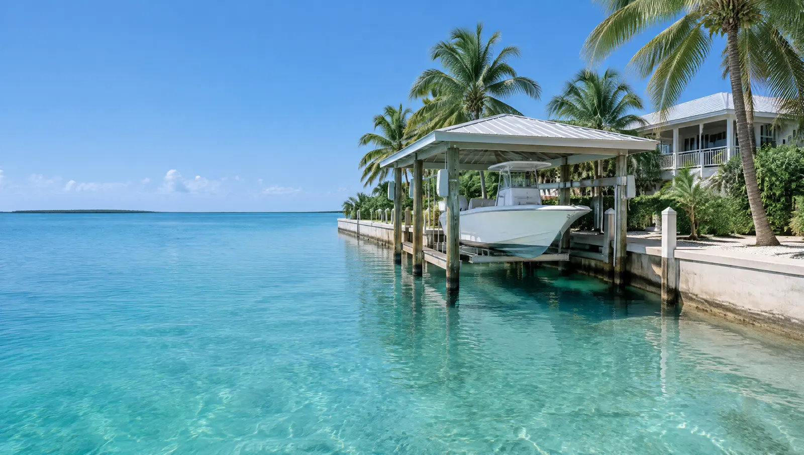
Davits are placed to that rule before the mounting plates are drilled.[1]
Covered lifts only over cut-in slips
Ordinance 24-15 allows open-sided covered boat lifts in Islamorada only over a cut-in slip on a man-made canal. The roof may not reach past the mouth of the slip or over mangroves, seagrass or hard bottom, may be no more than 12 ft above grade, and may not carry a deck.
Davits count as mooring structures, so the same reach and setback rules apply.[1]
Bay side and ocean side tides differ fourfold
NOAA's Florida Bay gauge at Upper Matecumbe Key shows a great diurnal range of only 0.61 ft, with mean higher high water about 0.41 ft below NAVD 88, while the Hawk Channel gauge a short way across the key shows 2.28 ft (1983 to 2001 epoch). A lift or floating dock sized for one side of Islamorada is wrong for the other.
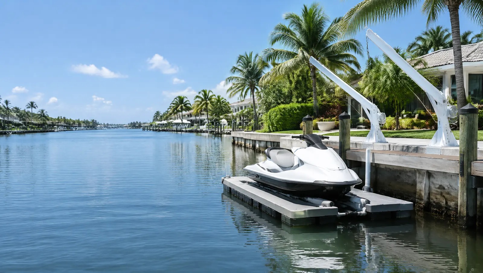
Davit reach and lift height are set from the tide range.[2][3]
What makes Islamorada different
Principal buildings sit 20 ft from the mean high water line on altered shorelines such as canals, 30 ft on open water with conditions, and 50 ft on unaltered shorelines. Docks, lifts, davits, seawalls and riprap are water-dependent structures that may sit inside that setback under the Village's standards.[1]
Sanctuary and manatee layers
The federal small-project permit, SPGP VI, required Sanctuary sign-off before any Islamorada project in Keys waters, and crews follow the state manatee conditions on every in-water job.[4][5]
Permits in Islamorada
- Islamorada, Village of Islands, Planning and Development Services: Docks, lifts and shoreline structures under Village Code Chapter 30.
- Florida Keys National Marine Sanctuary: Sanctuary waters surround every Islamorada key from the mean high water mark; we confirm what Sanctuary approval each project needs.
- Florida DEP or South Florida Water Management District: State permit or exemption; part of the Village's water is the Lignumvitae Key Aquatic Preserve.
- US Army Corps of Engineers, Jacksonville District: Federal authorisation for work in the Sanctuary waters around the Village.
Before we mount a davit
- Check the seawall cap or dock framing can carry the load
- Confirm the reach against the 25% waterway rule
- Permit with DERM and the city
- Mount, wire and test
Frequently asked questions
Can I launch a jet ski from my yard in Islamorada?
Only from a lawfully existing dock or ramp. Private ramps are limited to 20 ft wide.
Can I put a roof over my boat lift in Islamorada?
Only an open-sided cover over a cut-in slip on a man-made canal, no higher than 12 ft above grade, not over mangroves, seagrass or hard bottom, and with no deck on top.
Why does it matter which side of Islamorada I live on?
Because the tide is very different: about 0.61 ft great diurnal range on Florida Bay and 2.28 ft on Hawk Channel, per NOAA gauges at Upper Matecumbe Key.
Sources
- Ordinance No. 24-15 amending Village Code Sec. 30-1542 Shoreline Setback, with Department of Commerce Final Order COM-24-043, Islamorada, Village of Islands. Accessed October 28, 2026.
- Datums for station 8723808, Islamorada, Upper Matecumbe Key, Florida Bay (tidal epoch 1983 to 2001), NOAA Center for Operational Oceanographic Products and Services (CO-OPS), Tides and Currents. Accessed October 28, 2026.
- Datums for station 8723814, Upper Matecumbe Key, Hawk Channel (tidal epoch 1983 to 2001), NOAA Center for Operational Oceanographic Products and Services (CO-OPS), Tides and Currents. Accessed October 28, 2026.
- Department of the Army State Programmatic General Permit VI (SPGP VI), SAJ-2015-2575, State of Florida, U.S. Army Corps of Engineers, Jacksonville District (document hosted by Florida DEP). Accessed October 27, 2026.
- Standard Manatee Conditions for In-Water Work (2011), Florida Fish and Wildlife Conservation Commission (FWC). Accessed October 27, 2026.
- Floodplain Management, Islamorada, Village of Islands, Building Department. Accessed October 28, 2026.
- Class I Permit Application for Coastal Construction and Mangrove Trimming within Miami-Dade County (Revised May 2025), Miami-Dade County RER, Division of Environmental Resources Management (DERM), Coastal Resources Section. Accessed October 27, 2026.
Get a free quote
Tell us about your project and we will get back to you fast.