
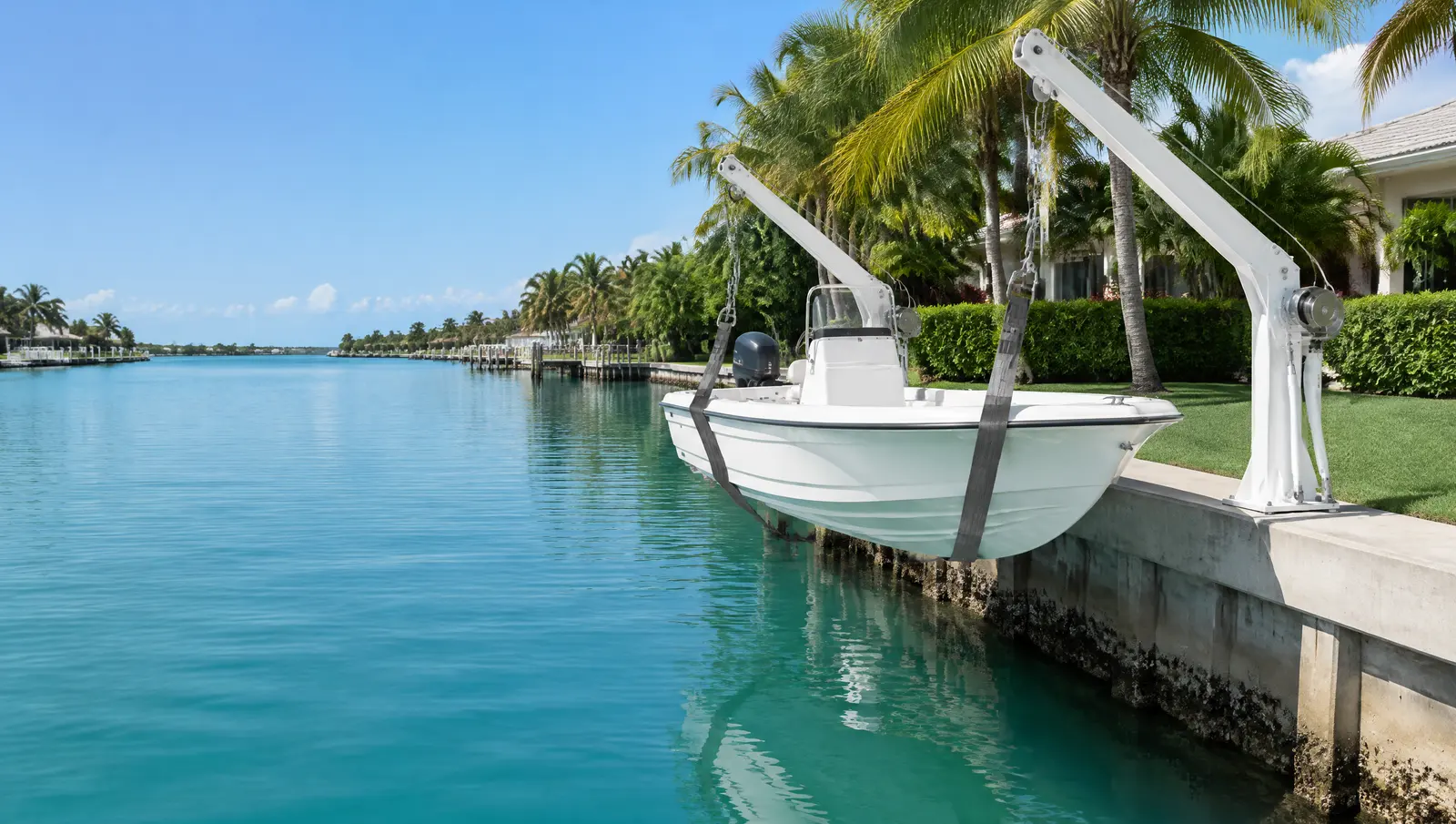
Boat davits in Miami
Miami boat davits kept within the county's 25% of waterway width.
Free Fast Quote
Please fill out this form to request a free quote on your upcoming project and we will respond to you right away!
We mount davits on seawalls and docks, check the wall can carry the load and handle the permit.
- Free, no-obligation quote
- Fast response from our team
- Miami-Dade, Broward, Palm Beach and the Keys
The short answer
In Miami, DERM's short-form permit covers a single-family dock, lift or davit only while it stays within 25% of the waterway width. City of Miami seawall tops have been set at +5.00 ft NGVD north of the Rickenbacker Causeway and +6.00 ft NGVD south of it, and a 2020 proposal would raise walls east of US-1 to 6 ft NAVD 88.
Last updated
Who davits suit
Owners of tenders, small boats and jet skis with a sound seawall or dock and limited room for a lift slip.
The 25% waterway rule on the county short form
Miami-Dade DERM handles a single-family dock, davit, boat lift or mooring pile on its short form only if the structure does not protrude more than 25% of the waterway width. On the narrower canals off the Miami River and Little River, that width test is often what decides how far a dock or lift can reach.
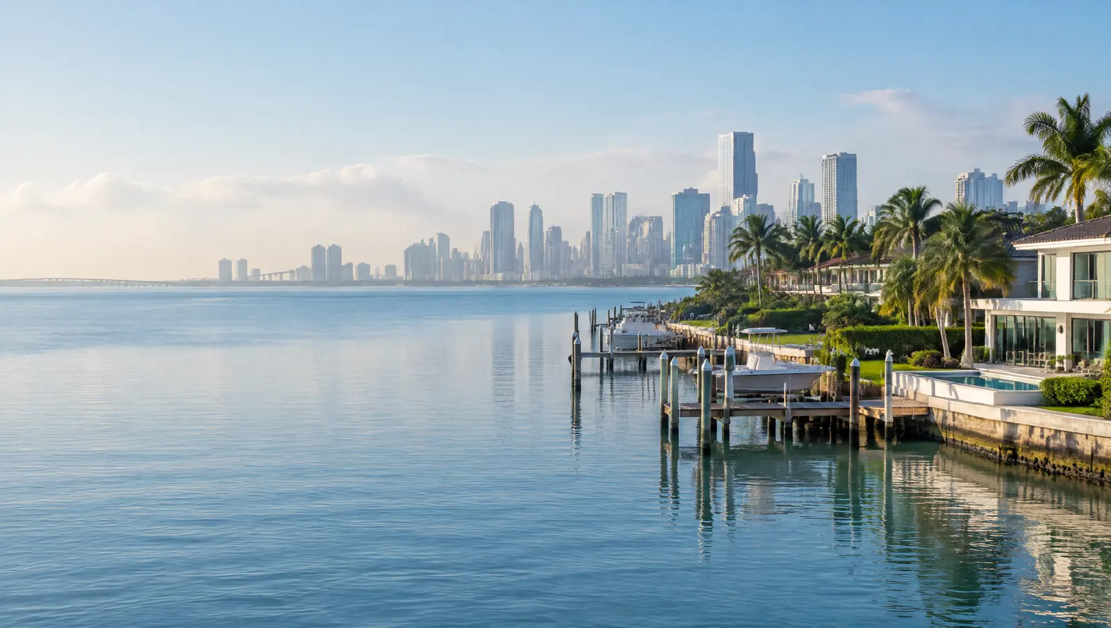
Davits count as mooring structures, so the same reach and setback rules apply.[1]
Two seawall heights split by the Rickenbacker Causeway
The City code text that File 7338 set out to replace puts seawall tops at +5.00 ft NGVD north of the Rickenbacker Causeway and +6.00 ft NGVD south of it, so the same job can have a different minimum depending on which side of the causeway the lot sits. The 2020 proposal would have moved every wall east of US-1 to 6 ft NAVD 88, with the Miami River left to its own section of the code.
Davits bolt to the seawall cap, so the wall's height and condition come first.[2]
The tide at the Miamarina gauge
NOAA's Miami Miamarina station on Biscayne Bay records a mean tidal range of 2.17 ft and a great diurnal range of 2.37 ft, with mean higher high water about 0.26 ft above NAVD 88 (1983 to 2001 tidal epoch). Those numbers set how far a lift has to travel, how far a floating dock rises and falls, and how much freeboard a seawall cap really has.
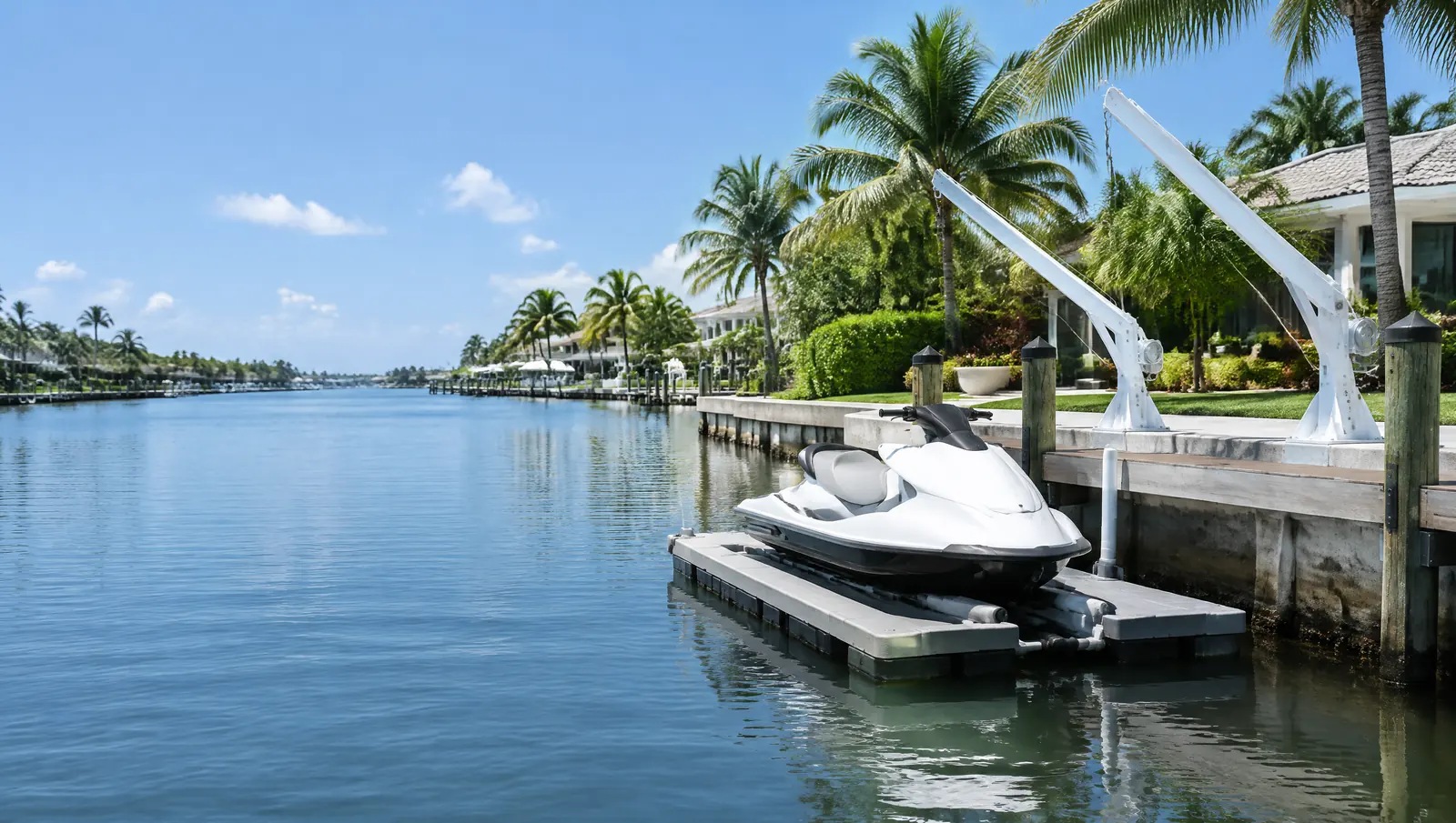
Davit reach and lift height are set from the tide range.[3]
What makes Miami waterfront work different
Most of Biscayne Bay and its natural tributaries, including the Miami River and Little River, are state-owned submerged lands, so docks over them need the state's consent alongside the DERM permit. The Biscayne Bay Aquatic Preserve is listed by DERM as a permitting contact, and FDEP's free online dock self-certification is not available in aquatic preserves. The federal seagrass range used in dock design reaches central Biscayne Bay.[1][4][5]
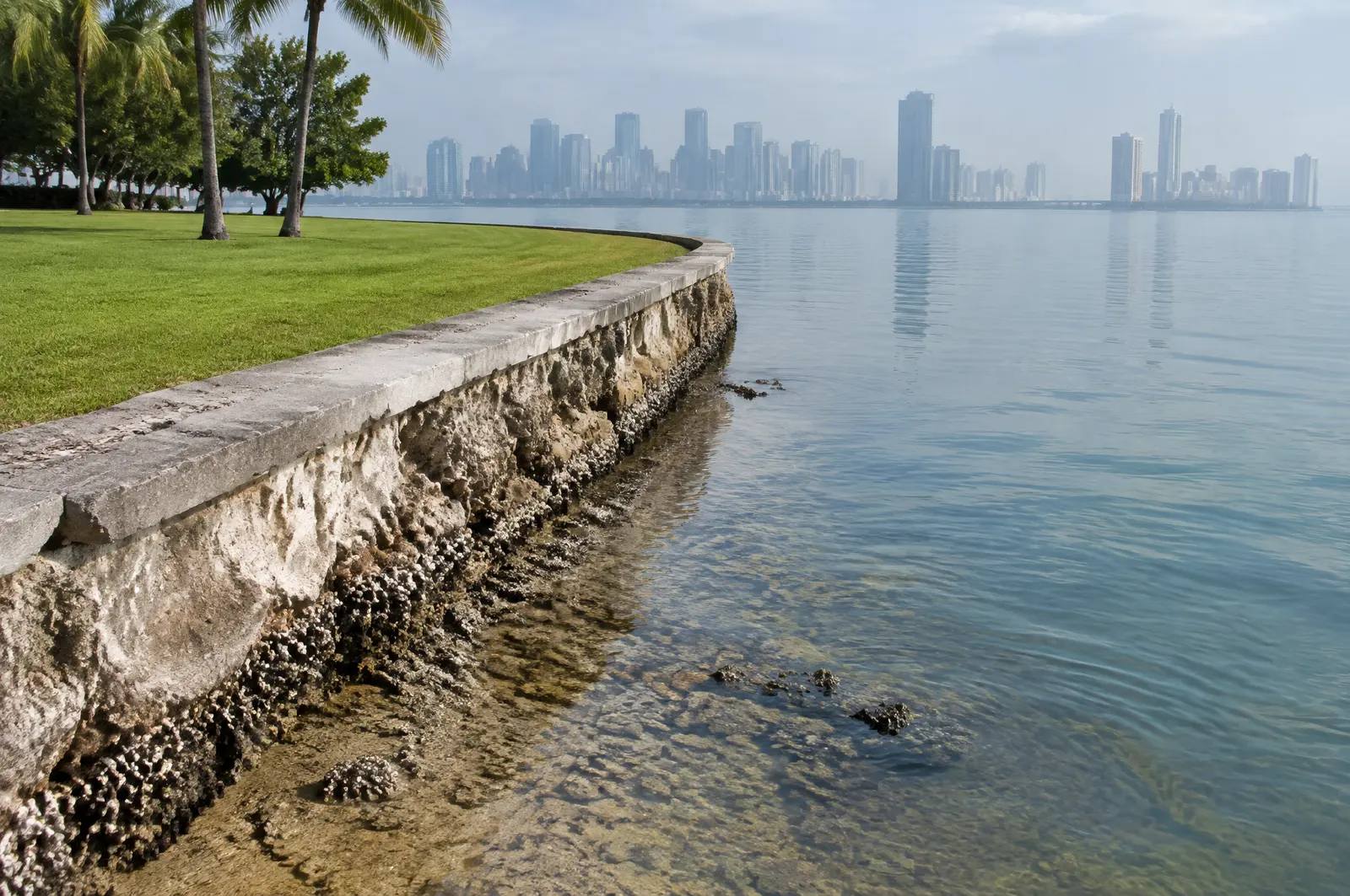
City of Miami seawall height
In 2020 the City considered an ordinance (File 7338) to set a 6 ft NAVD 88 minimum for new and rebuilt seawalls east of US-1, outside the Miami River. We have not confirmed that it was adopted, so for every Miami seawall job we confirm the current height rule with the City before design.[2]
Permits in Miami
- Miami-Dade DERM, Coastal Resources Section: Class I permit for any work in, on or over tidal water, the Miami River included, with exempt, expedited and short-form routes for small jobs. Phone (305) 372-6575.
- City of Miami Building Department: Structural and zoning approval for seawalls, docks and lifts inside city limits.
- Florida DEP or South Florida Water Management District: State permit or exemption, and consent to use the state-owned bottom of Biscayne Bay, the Miami River and Little River, which DERM grants for most of the bay on the state's behalf.
- US Army Corps of Engineers, Jacksonville District: Federal sign-off for work in the bay and the river. SPGP VI, the small-project route, passed its stated 27 July 2026 expiry, so we confirm the current route for each job.
Before we mount a davit
- Check the seawall cap or dock framing can carry the load
- Confirm the reach against the 25% waterway rule
- Permit with DERM and the city
- Mount, wire and test
Frequently asked questions
How far can a dock or boat lift stick out in Miami?
For DERM's short-form permit, no more than 25% of the waterway width. Bigger projects move to DERM's standard form, which goes to the County Commission with notice to neighbours within 300 ft.
How high does a seawall have to be in the City of Miami?
The code text File 7338 set out to replace uses +5.00 ft NGVD north of the Rickenbacker Causeway and +6.00 ft NGVD south of it. A 2020 proposal for 6 ft NAVD 88 east of US-1 was never confirmed as adopted, so we check the current rule with the City before design.
How much does the tide move in Miami?
At NOAA's Miami Miamarina gauge on Biscayne Bay the mean range is 2.17 ft and the great diurnal range 2.37 ft (1983 to 2001 epoch). King tides and storm surge go higher.
Sources
- Class I Permit Application for Coastal Construction and Mangrove Trimming within Miami-Dade County (Revised May 2025), Miami-Dade County RER, Division of Environmental Resources Management (DERM), Coastal Resources Section. Accessed October 27, 2026.
- City of Miami File ID 7338 (Revision A): Ordinance amending Chapters 20, 29 and 54 to set seawall minimum heights (Second Reading, printed 5/19/2020), City of Miami. Accessed October 27, 2026.
- Datums for station 8723165, Miami, Miamarina, Biscayne Bay (tidal epoch 1983 to 2001), NOAA Center for Operational Oceanographic Products and Services (CO-OPS), Tides and Currents. Accessed October 28, 2026.
- Dock Permitting in Florida: Permit Application Fee Schedule and Aquatic Preserve Design Criteria, Florida Department of Environmental Protection (FDEP). Accessed October 27, 2026.
- Department of the Army State Programmatic General Permit VI (SPGP VI), SAJ-2015-2575, State of Florida, U.S. Army Corps of Engineers, Jacksonville District (document hosted by Florida DEP). Accessed October 27, 2026.
- Biscayne Bay Aquatic Preserve, Florida Department of Environmental Protection, Office of Resilience and Coastal Protection. Accessed October 28, 2026.
- Florida Statutes 2026, Section 403.813: Permits issued at district centers; exceptions, The Florida Legislature (Online Sunshine). Accessed October 27, 2026.
- Letter to the Miami City Manager on Community Rating System verification (12 May 2022), with CRS verification report, FEMA, Federal Insurance and Mitigation Administration (hosted by the City of Miami). Accessed October 28, 2026.
Get a free quote
Tell us about your project and we will get back to you fast.