
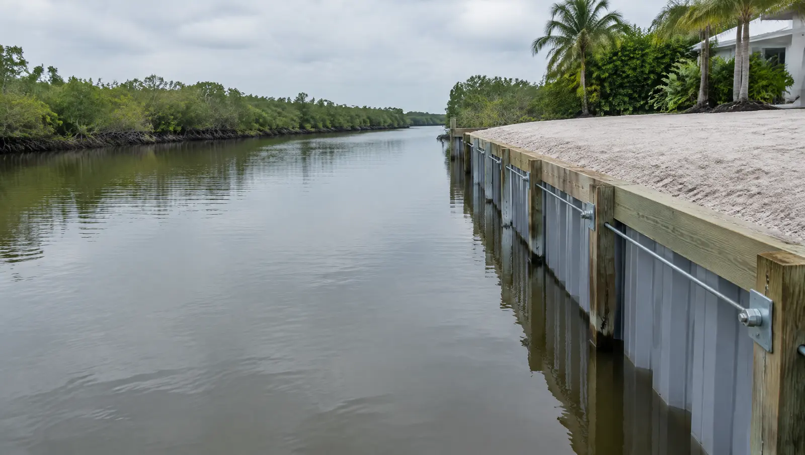
Bulkheads in Islamorada
Bulkheads in Islamorada, where the bay tide moves 0.61 ft and the ocean tide 2.28 ft.
Free Fast Quote
Please fill out this form to request a free quote on your upcoming project and we will respond to you right away!
We build, repair and replace bulkheads on canals, lakes connected to tidal water and the Intracoastal, with engineered drawings and permits.
- Free, no-obligation quote
- Fast response from our team
- Miami-Dade, Broward, Palm Beach and the Keys
The short answer
In Islamorada the Florida Bay tide swings about 0.61 ft but the Hawk Channel tide 2.28 ft, so bay and ocean lots need different designs. Islamorada bans tying boats to mangroves or other shoreline vegetation outside a declared emergency, so a lawful dock or piling is needed.
Last updated
Who this is for
Owners and associations with a bulkhead that leaks, leans or sits below the local height standard.
Bay side and ocean side tides differ fourfold
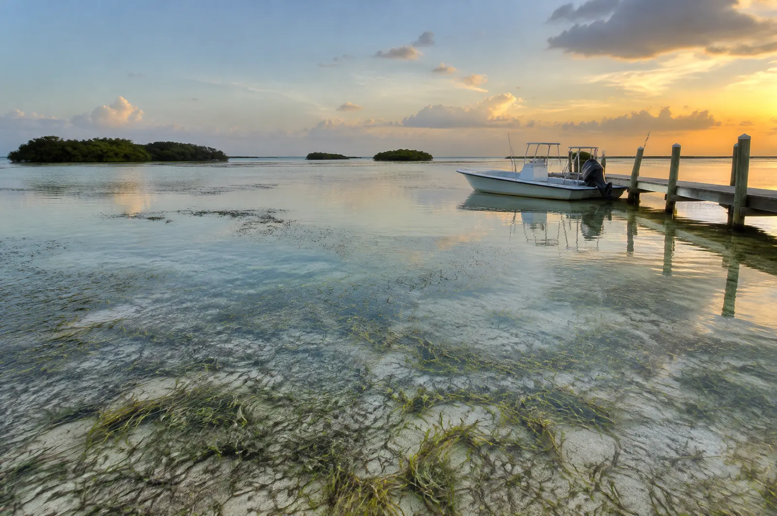
NOAA's Florida Bay gauge at Upper Matecumbe Key shows a great diurnal range of only 0.61 ft, with mean higher high water about 0.41 ft below NAVD 88, while the Hawk Channel gauge a short way across the key shows 2.28 ft (1983 to 2001 epoch). A lift or floating dock sized for one side of Islamorada is wrong for the other.
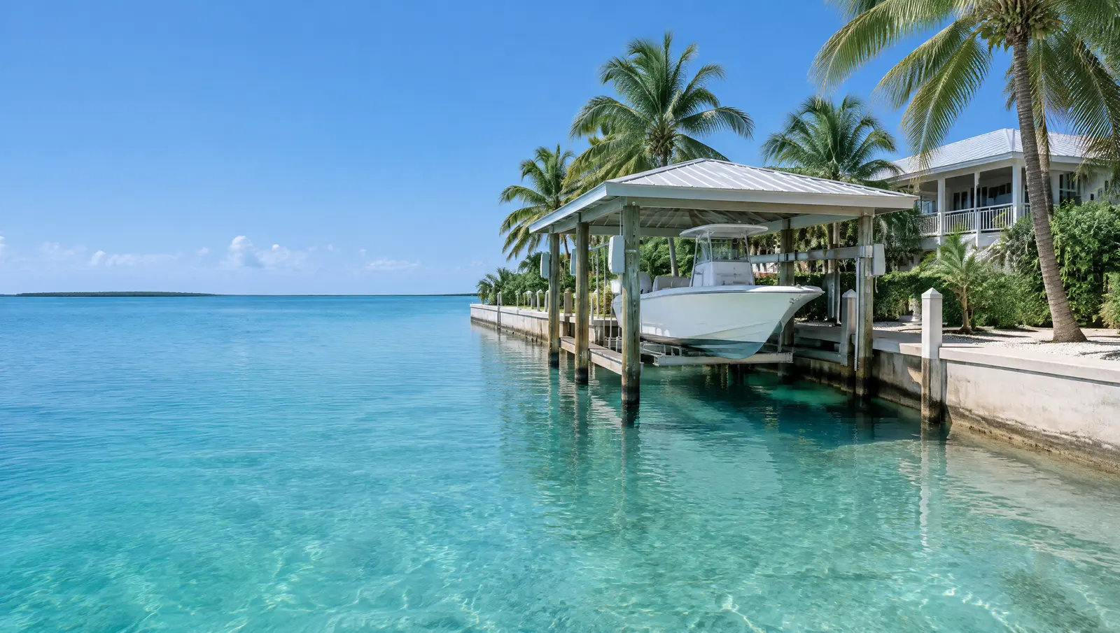
No tying up to mangroves
Islamorada bans docking, mooring or tying a vessel to shoreline vegetation, mangroves included, except in a declared emergency. A boat needs a proper dock or piling to tie to, which is often the reason a new dock or mooring pile is the first project on a natural shoreline lot.
Bulkheads go landward of mangroves where possible.[3]
Flood maps from 2005, new ones pending
Islamorada still builds to effective flood maps dated 18 February 2005. Preliminary maps went through appeals between March and June 2021, FEMA has not announced when they take effect, and the Village has promised six months' notice once it does.[4]
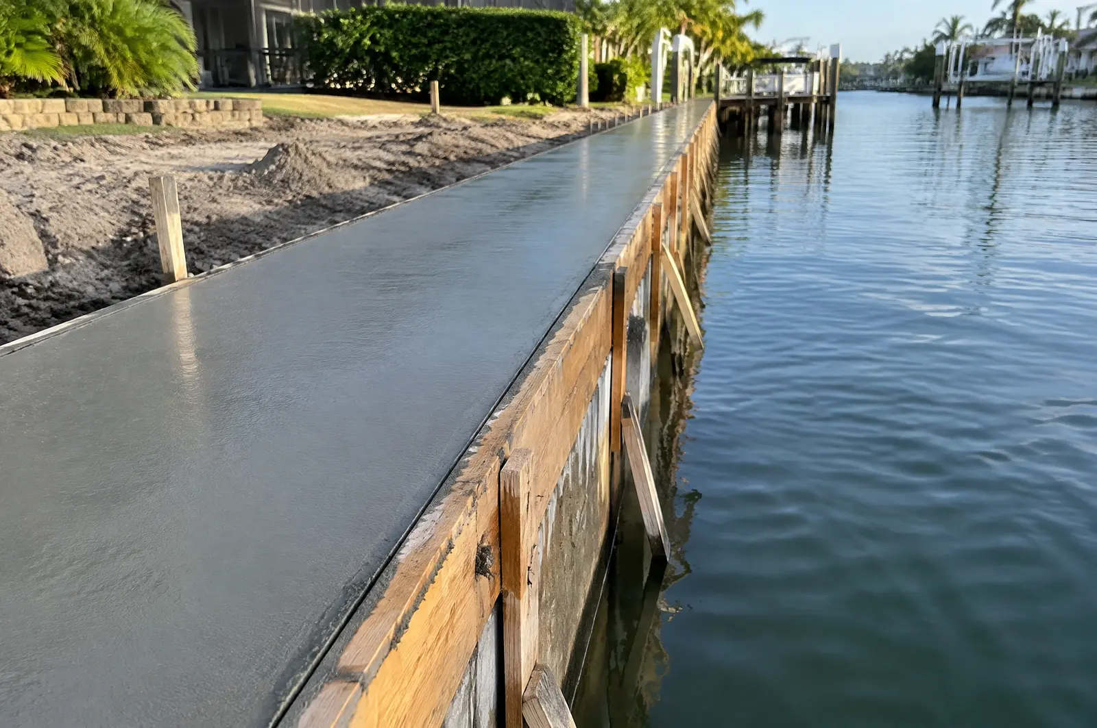
What makes Islamorada different
Principal buildings sit 20 ft from the mean high water line on altered shorelines such as canals, 30 ft on open water with conditions, and 50 ft on unaltered shorelines. Docks, lifts, davits, seawalls and riprap are water-dependent structures that may sit inside that setback under the Village's standards.[3]
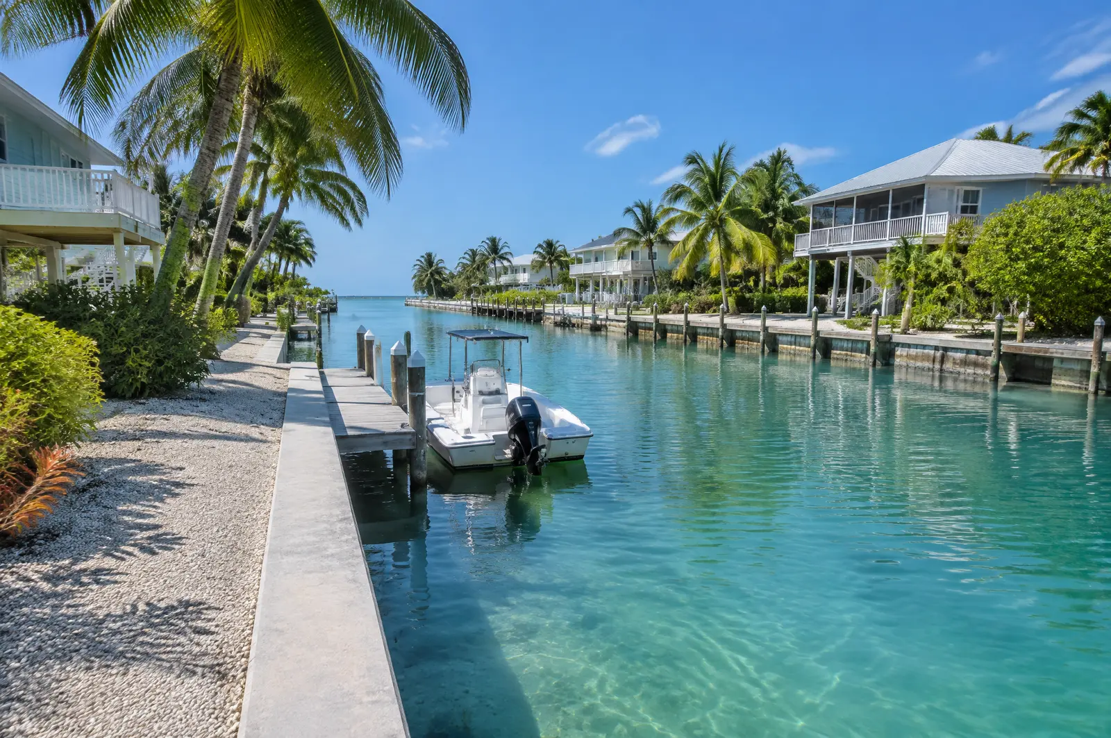
Sanctuary and manatee layers
The federal small-project permit, SPGP VI, required Sanctuary sign-off before any Islamorada project in Keys waters, and crews follow the state manatee conditions on every in-water job.[5][6]
Permits in Islamorada
- Islamorada, Village of Islands, Planning and Development Services: Docks, lifts and shoreline structures under Village Code Chapter 30.
- Florida Keys National Marine Sanctuary: Sanctuary waters surround every Islamorada key from the mean high water mark; we confirm what Sanctuary approval each project needs.
- Florida DEP or South Florida Water Management District: State permit or exemption; part of the Village's water is the Lignumvitae Key Aquatic Preserve.
- US Army Corps of Engineers, Jacksonville District: Federal authorisation for work in the Sanctuary waters around the Village.
Where state exemptions stop
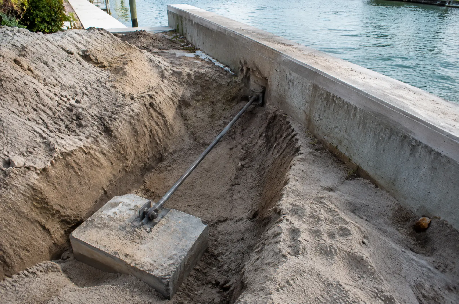
Florida exempts restoring a seawall at its previous location or within 18 inches waterward, and allows seawalls in artificial waterways. The exemption does not cover new vertical seawalls in estuaries or lagoons unless they sit inside an existing manmade canal already lined with seawalls.[9]
Frequently asked questions
Why does it matter which side of Islamorada I live on?
Because the tide is very different: about 0.61 ft great diurnal range on Florida Bay and 2.28 ft on Hawk Channel, per NOAA gauges at Upper Matecumbe Key.
Can I tie my boat to the mangroves in Islamorada?
No. Ordinance 24-15 bans docking, mooring or tying up to shoreline vegetation, including mangroves, except in a declared emergency.
Which flood maps apply in Islamorada?
The effective maps dated 18 February 2005. Preliminary maps were appealed in 2021; FEMA will give six months' notice before they take effect.
Sources
- Datums for station 8723808, Islamorada, Upper Matecumbe Key, Florida Bay (tidal epoch 1983 to 2001), NOAA Center for Operational Oceanographic Products and Services (CO-OPS), Tides and Currents. Accessed October 28, 2026.
- Datums for station 8723814, Upper Matecumbe Key, Hawk Channel (tidal epoch 1983 to 2001), NOAA Center for Operational Oceanographic Products and Services (CO-OPS), Tides and Currents. Accessed October 28, 2026.
- Ordinance No. 24-15 amending Village Code Sec. 30-1542 Shoreline Setback, with Department of Commerce Final Order COM-24-043, Islamorada, Village of Islands. Accessed October 28, 2026.
- Floodplain Management, Islamorada, Village of Islands, Building Department. Accessed October 28, 2026.
- Department of the Army State Programmatic General Permit VI (SPGP VI), SAJ-2015-2575, State of Florida, U.S. Army Corps of Engineers, Jacksonville District (document hosted by Florida DEP). Accessed October 27, 2026.
- Standard Manatee Conditions for In-Water Work (2011), Florida Fish and Wildlife Conservation Commission (FWC). Accessed October 27, 2026.
- CAO 2022-007: Legal Opinion Regarding Scrivener's Error in Zoning Code 3-706 Bulkheads and Retaining Walls (17 Aug 2022), City of Coral Gables, City Attorney. Accessed October 27, 2026.
- Construction Industry Licensing Board: Archives (HB 1383 / SB 1142 specialty licensing changes), Florida Department of Business and Professional Regulation (DBPR), Construction Industry Licensing Board. Accessed October 27, 2026.
- Florida Statutes 2026, Section 403.813: Permits issued at district centers; exceptions, The Florida Legislature (Online Sunshine). Accessed October 27, 2026.
Get a free quote
Tell us about your project and we will get back to you fast.