
Living shorelines in Fort Lauderdale
Living shorelines for Fort Lauderdale homes, planned so king tide water stays off the street.
Free Fast Quote
Please fill out this form to request a free quote on your upcoming project and we will respond to you right away!
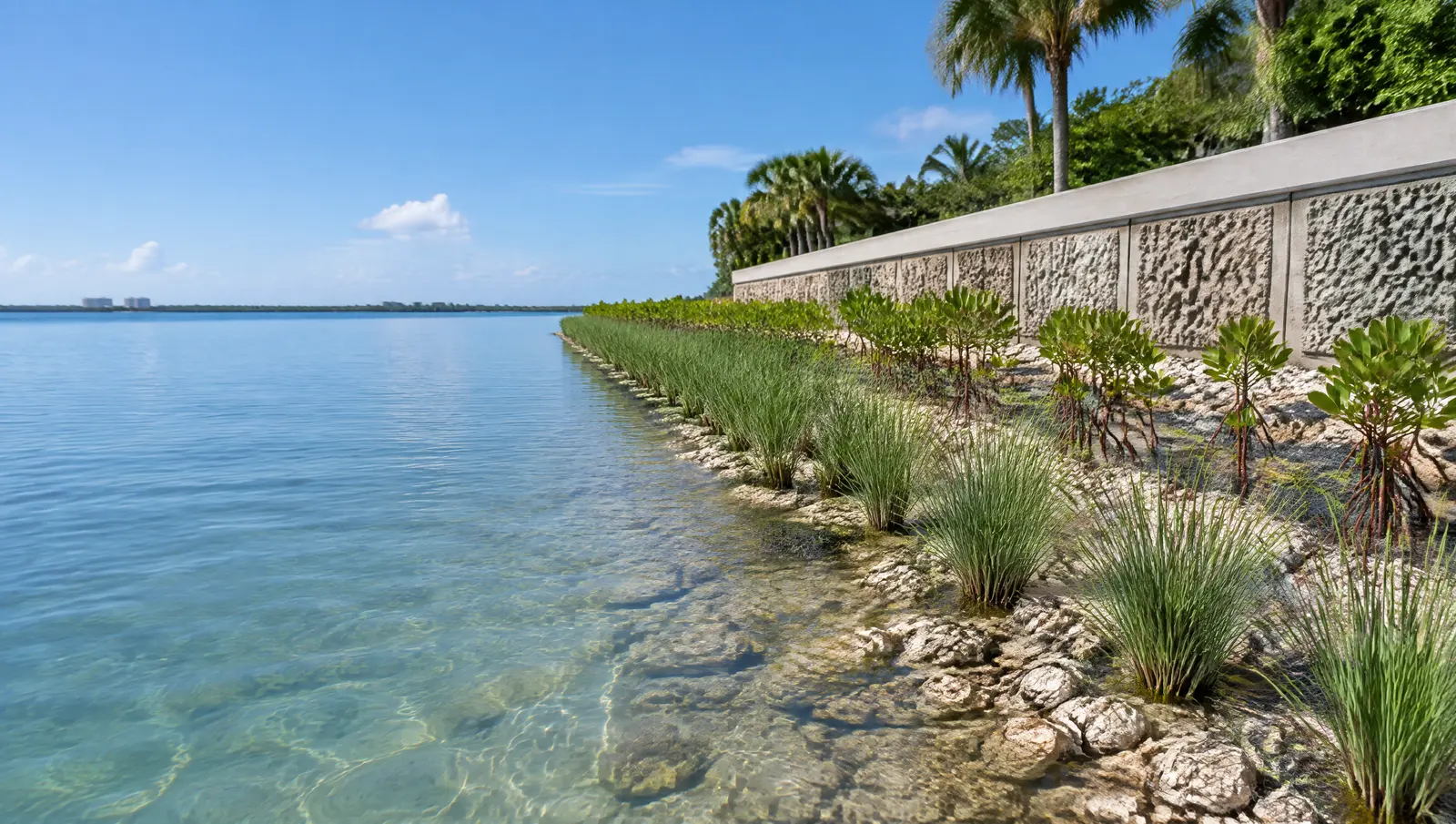
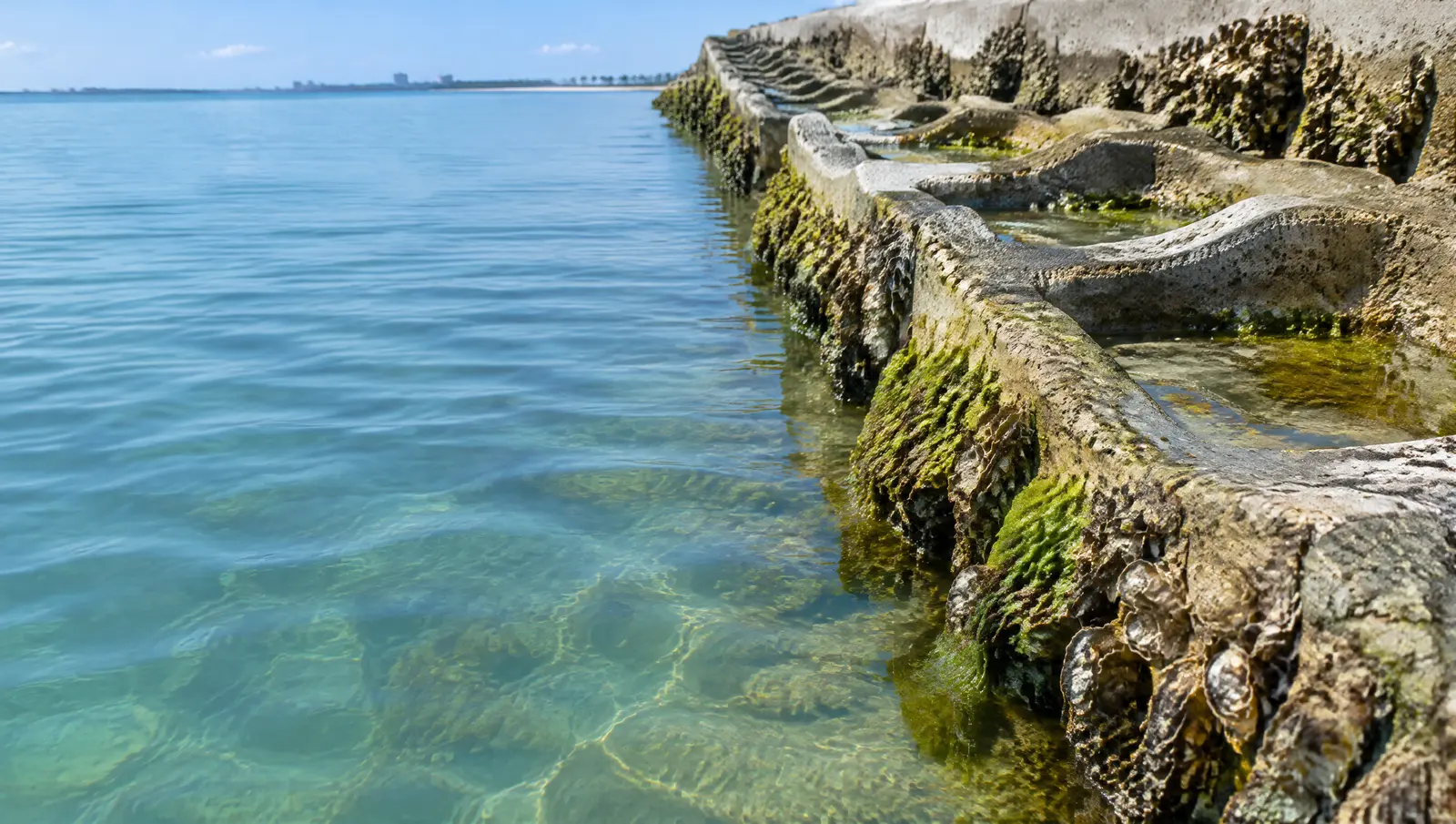
Riprap planted with mangroves in front of a wall, and seawalls with textured, pH-neutral panels that marine life can grow on.
- Free, no-obligation quote
- Fast response from our team
- Miami-Dade, Broward, Palm Beach and the Keys
The short answer
Fort Lauderdale can cite owners whose seawalls let king tide water reach the street, and asks for overtopped walls to be raised to 5 ft. Fort Lauderdale's tide swings 2.79 ft near Port Everglades but 2.28 ft up the New River, so lift travel depends on where you are.
Last updated
Who this is for
Owners replacing a wall who want a softer edge, owners with mangroves along the shore, and Coral Gables owners who want the fee incentive.
King tides and street flooding
The City tells owners to inspect and maintain their seawalls, says walls overtopped by king tides should be raised to the 5 ft standard, and can cite owners whose walls let tidal water reach the street. A low spot or a leaking joint is a code issue here, not only a maintenance one.
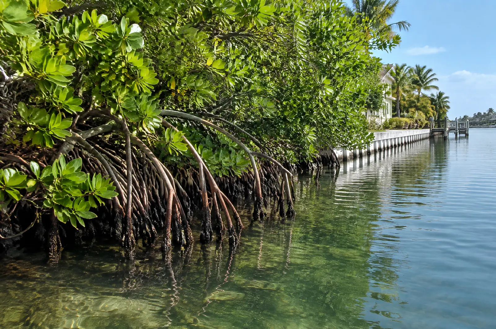
A living shoreline is built on that rock rule, with plants and habitat panels added.[1][2]
River tide and inlet tide
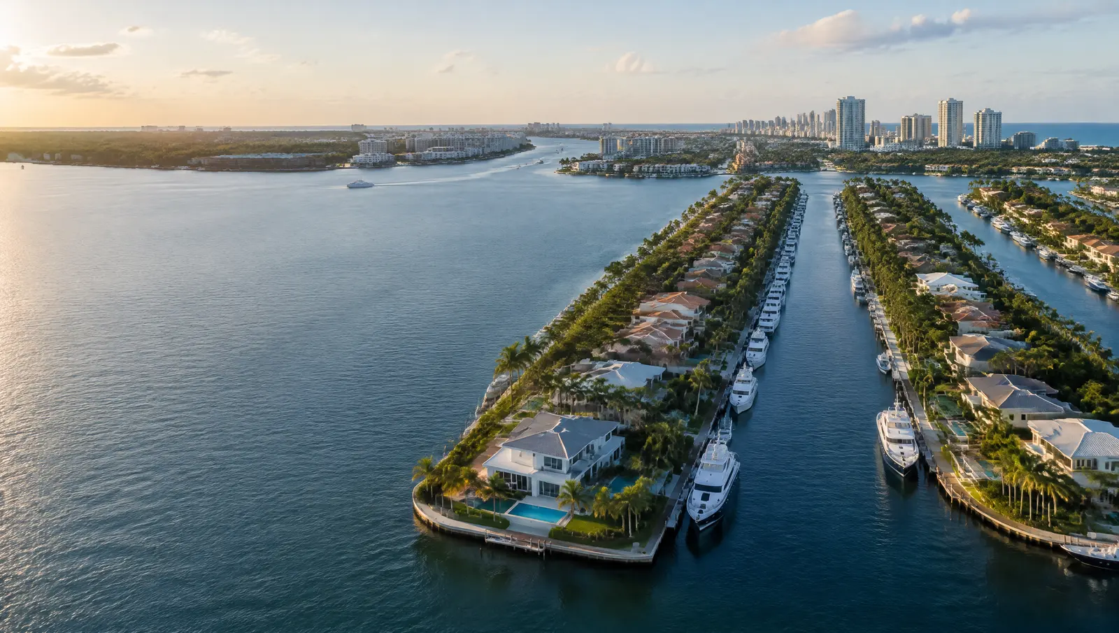
NOAA's South Port Everglades gauge shows a 2.79 ft great diurnal range, while the Andrews Avenue bridge gauge up the New River shows 2.28 ft, with mean higher high water about 0.45 to 0.57 ft above NAVD 88 (1983 to 2001 epoch). Lifts and floating docks near the inlet need more travel than those up the river.
Living features can sit in front of a wall that still meets the height rule.[3][4]
5 ft NAVD88, with a path to 2050
New and substantially repaired tidal barriers in Fort Lauderdale must reach 5 ft NAVD88. A wall permitted before 1 January 2035 may be built at 4 ft NAVD88 if it is designed to be raised to 5 ft by 1 January 2050, which is how many owners spread the cost.[2]
What makes Fort Lauderdale different
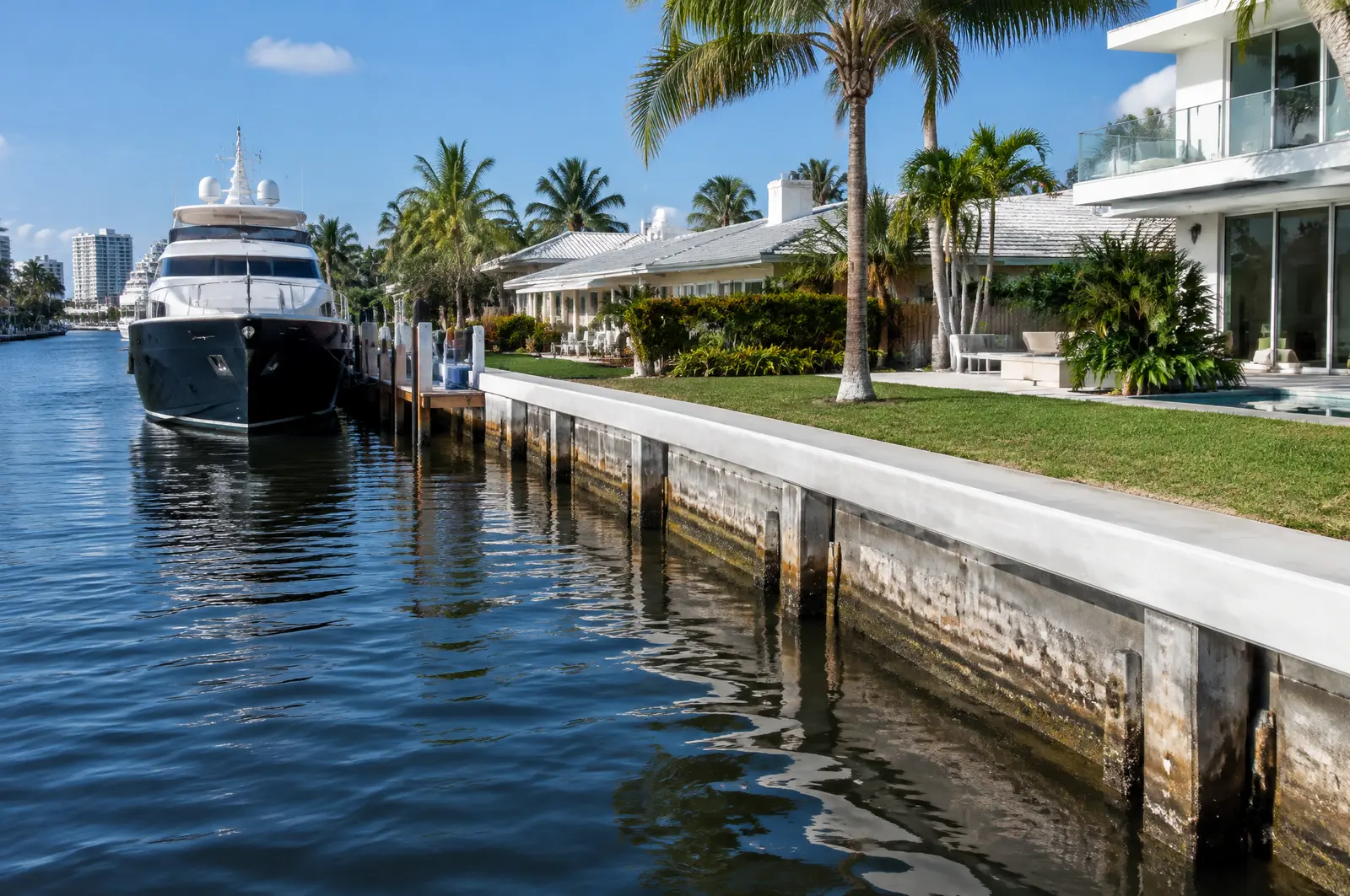
The City treats seawalls as tidal barriers. It presumes a wall is in disrepair if it lets upland soil erode, lets material pass through it, or lets tidal water flow unimpeded onto neighbours or the street, and gives owners 60 days to show progress and 365 days to finish. The City also spends $1.5 million a year on its own seawalls.[2][1]
The county layer
Broward County requires a license before any work in, on, over or under its waters, including repairing or replacing a dock or seawall. Broward's regional policy is a consistent top elevation of 5 ft NAVD for seawalls, banks and berms.[5][2]
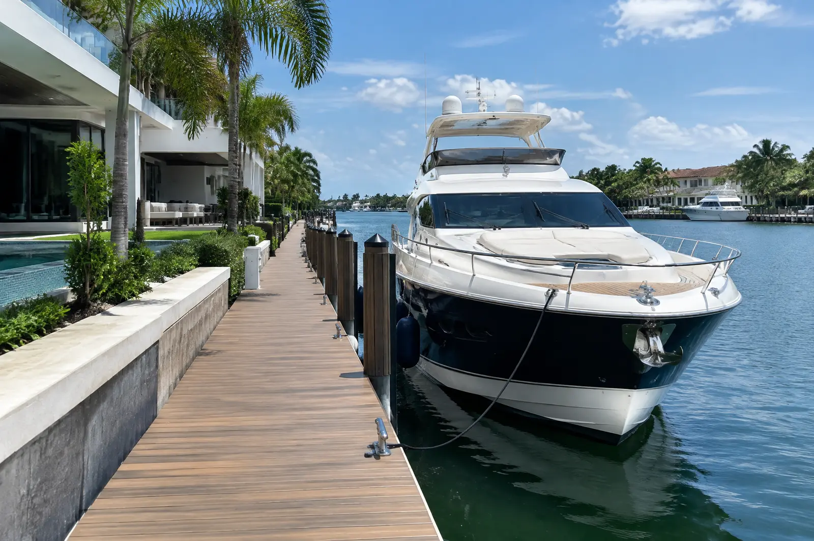
Permits in Fort Lauderdale
- Broward County environmental licensing: A county license before any work in, on, over or under Broward County waters, including dock and seawall repair.
- City of Fort Lauderdale: Building permits; waivers of the dock and lift projection limit go to the City Commission with a Marine Advisory Board recommendation.
- Florida DEP or South Florida Water Management District: State permit or exemption for docks and walls on the New River and the Intracoastal, on top of the Broward County license.
- US Army Corps of Engineers, Jacksonville District: Federal authorisation for work in the Intracoastal Waterway and other navigable waters.
Permits for living shorelines
Riprap follows the riprap rules: up to 10 ft waterward under SPGP VI and a state general permit for up to 100 linear feet at 2:1. In Miami-Dade, mangrove permits are valid for 3 years and limerock boulder riprap on a 2:1 slope gets an expedited authorisation after a DERM inspection.[10][11]
Frequently asked questions
Can Fort Lauderdale make me fix my seawall?
Yes. The City can cite walls that contribute to tidal flooding of the street, and after notice owners have 60 days to show progress and 365 days to finish.
How much does the tide move in Fort Lauderdale?
About 2.79 ft (great diurnal range) at South Port Everglades and 2.28 ft at the Andrews Avenue bridge on the New River, per NOAA's 1983 to 2001 datums.
How high does a seawall need to be in Fort Lauderdale?
5 ft NAVD88 for new and substantially repaired walls. Walls permitted before 1 January 2035 can be 4 ft if designed to be raised to 5 ft by 1 January 2050.
Sources
- King Tides and High Tides, City of Fort Lauderdale. Accessed October 27, 2026.
- Staff Report, Planning and Zoning Board, 16 Nov 2022, Case UDP-T22010 (Tidal barrier / seawall ordinance amendment, ULDR 47-19.3), City of Fort Lauderdale. Accessed October 27, 2026.
- Datums for station 8722956, South Port Everglades, ICWW (tidal epoch 1983 to 2001), NOAA Center for Operational Oceanographic Products and Services (CO-OPS), Tides and Currents. Accessed October 28, 2026.
- Datums for station 8722937, Fort Lauderdale, Andrews Ave. Bridge (tidal epoch 1983 to 2001), NOAA Center for Operational Oceanographic Products and Services (CO-OPS), Tides and Currents. Accessed October 28, 2026.
- Do I need a license to replace or repair my dock / seawall?, Broward County (311 knowledge base, Environmental Protection and Growth Management). Accessed October 28, 2026.
- City Commission Agenda Memo #26-0535: Waiver of Limitations at 1614 Brickell Drive for one boat lift (16 Jun 2026), City of Fort Lauderdale. Accessed October 28, 2026.
- Community Rating System (Flood), City of Fort Lauderdale, Development Services. Accessed October 28, 2026.
- Floodproofing (glossary), Federal Emergency Management Agency (FEMA). Accessed October 27, 2026.
- Solar, Open Air Dining, and Other Permits, City of Coral Gables. Accessed October 27, 2026.
- Department of the Army State Programmatic General Permit VI (SPGP VI), SAJ-2015-2575, State of Florida, U.S. Army Corps of Engineers, Jacksonville District (document hosted by Florida DEP). Accessed October 27, 2026.
- Class I Permit Application for Coastal Construction and Mangrove Trimming within Miami-Dade County (Revised May 2025), Miami-Dade County RER, Division of Environmental Resources Management (DERM), Coastal Resources Section. Accessed October 27, 2026.
Get a free quote
Tell us about your project and we will get back to you fast.