
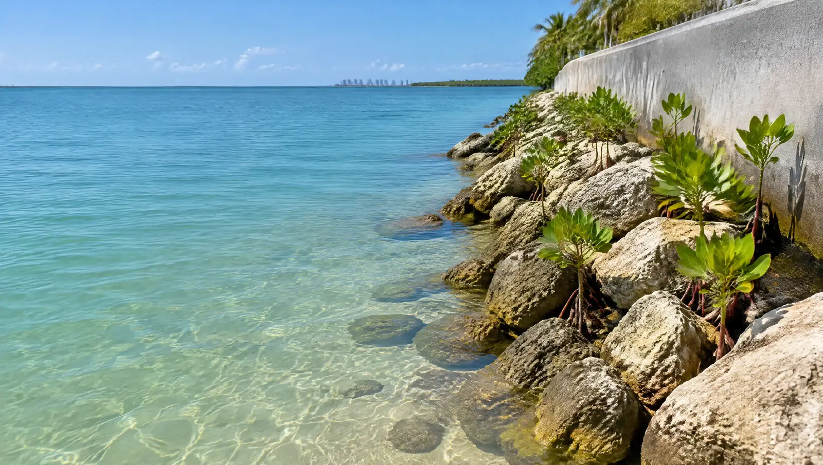
Riprap and toe protection in Islamorada
Riprap and toe protection in Islamorada, allowed inside the shoreline setback as erosion control.
Free Fast Quote
Please fill out this form to request a free quote on your upcoming project and we will respond to you right away!
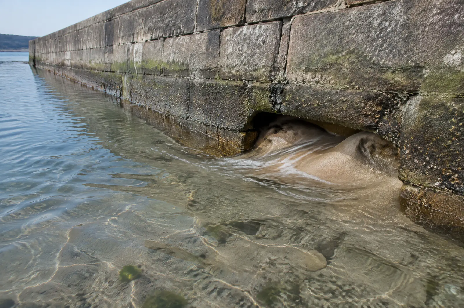
When water scours under the toe of a wall, the wall starts to tip. Riprap and toe repairs stop that, and some are permit-exempt in Miami-Dade.
- Free, no-obligation quote
- Fast response from our team
- Miami-Dade, Broward, Palm Beach and the Keys
The short answer
Islamorada's 20 to 50 ft shoreline setback does not apply to seawalls, riprap or bulkheads built for erosion control. Islamorada bans tying boats to mangroves or other shoreline vegetation outside a declared emergency, so a lawful dock or piling is needed.
Last updated
Signs the toe needs work
Look for these at low tide.
- A gap or hollow under the base of the wall
- Wall tipping toward the water
- Soil loss behind the wall with no visible crack
- Strong wakes or currents along the lot
Typical project sizes
Toe repairs often cover the worst few sections of wall; riprap revetments usually run the full frontage. The state general permit covers up to 100 linear feet of riprap at a slope no steeper than 2:1.
Seawalls and riprap inside the setback
Islamorada's shoreline setback keeps buildings 20 to 50 ft from mean high water, but it does not apply to seawalls, riprap and bulkheads whose purpose is erosion control or upland protection. Because the Keys are an area of critical state concern, the 2024 ordinance was approved by the Florida Department of Commerce.
Toe protection usually costs a fraction of a new wall and fits that permit route.[1]
No tying up to mangroves
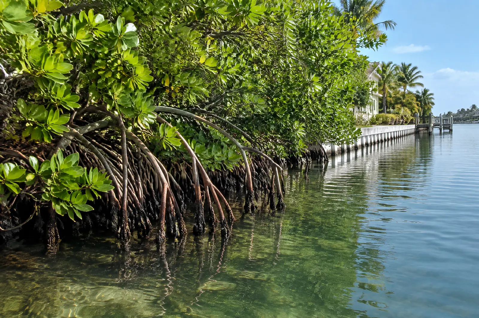
Islamorada bans docking, mooring or tying a vessel to shoreline vegetation, mangroves included, except in a declared emergency. A boat needs a proper dock or piling to tie to, which is often the reason a new dock or mooring pile is the first project on a natural shoreline lot.
Rock is placed around existing mangroves, not over them.[1]
The Lignumvitae Key Aquatic Preserve
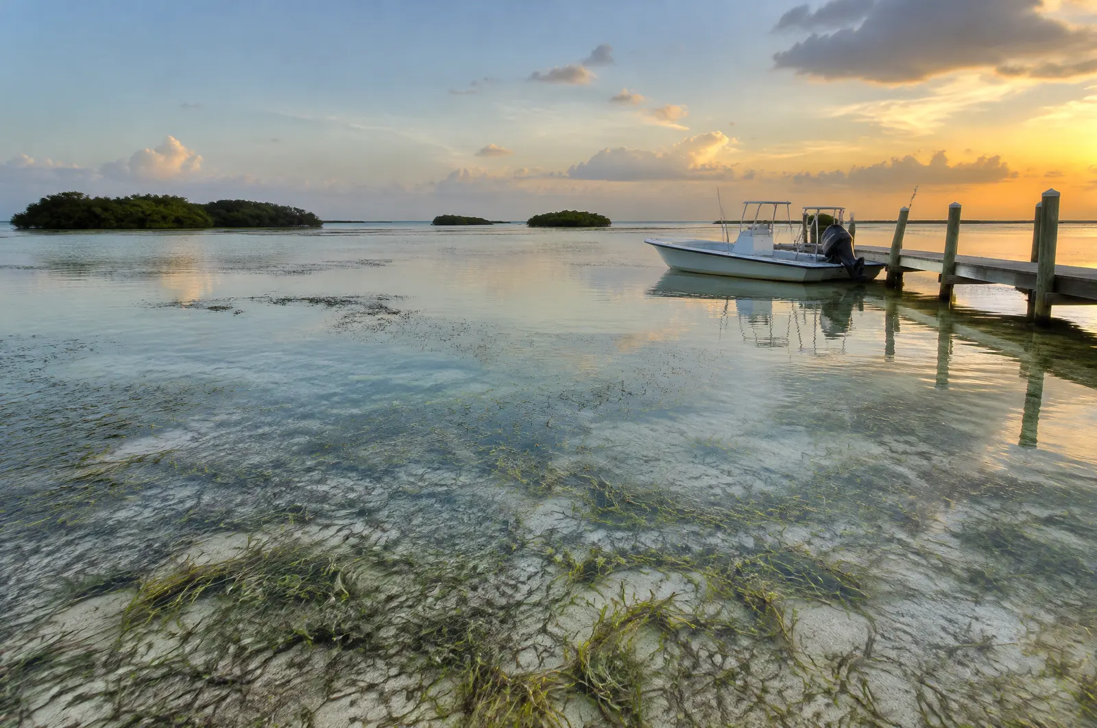
The 6,700 acre Lignumvitae Key Aquatic Preserve lies inside the Village between Upper and Lower Matecumbe Keys, with seagrass meadows and three navigable channels between Florida Bay and the Atlantic. It is recognised as an outstanding water resource of the state, which brings the smaller 500 sq ft dock exemption used for Outstanding Florida Waters.
Rock footprints are kept off grass beds, so a survey of the bottom comes before the rock order.[2][3]
Sanctuary water from the high tide line
The Florida Keys National Marine Sanctuary begins at the mean high water mark, so any dock, lift or pile work in Islamorada is Sanctuary work and needs the matching state and federal approvals. Monroe County waters carry FWC boating restricted areas under rule 68D-24.144 and the state manatee conditions.[4][5][6]
What makes Islamorada different
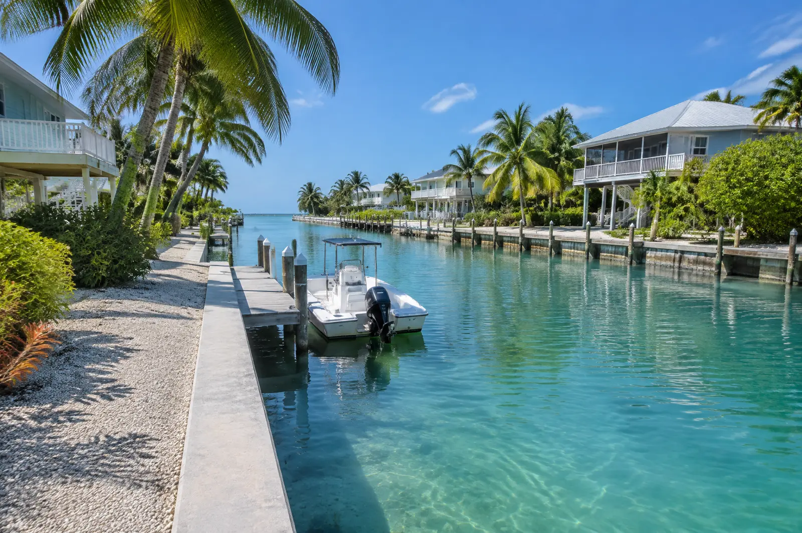
Principal buildings sit 20 ft from the mean high water line on altered shorelines such as canals, 30 ft on open water with conditions, and 50 ft on unaltered shorelines. Docks, lifts, davits, seawalls and riprap are water-dependent structures that may sit inside that setback under the Village's standards.[1]
Sanctuary and manatee layers
The federal small-project permit, SPGP VI, required Sanctuary sign-off before any Islamorada project in Keys waters, and crews follow the state manatee conditions on every in-water job.[7][6]
Permits in Islamorada
- Islamorada, Village of Islands, Planning and Development Services: Docks, lifts and shoreline structures under Village Code Chapter 30.
- Florida Keys National Marine Sanctuary: Sanctuary waters surround every Islamorada key from the mean high water mark; we confirm what Sanctuary approval each project needs.
- Florida DEP or South Florida Water Management District: State permit or exemption; part of the Village's water is the Lignumvitae Key Aquatic Preserve.
- US Army Corps of Engineers, Jacksonville District: Federal authorisation for work in the Sanctuary waters around the Village.
What riprap does
Riprap is a sloped layer of large rock at the base of a seawall. It breaks wave energy and stops the water from scouring sand out from under the toe. Red mangroves can grow between the rocks, which is the idea behind living shorelines.
Riprap limits and permits
Under SPGP VI, new riprap may extend no more than 10 ft waterward of the mean high water line, and repair or replacement no more than 18 inches beyond the previous footprint. Miami-Dade allows natural limerock boulder riprap on a 2:1 slope up to 10 ft waterward through an expedited authorisation after inspection.[7][11]
| Work | Rule | Fee |
|---|---|---|
| Riprap or gunite tube under undercut wall, up to 2 ft waterward | DERM exempt | None from DERM |
| Sand-cement bags at toe, up to 2 ft waterward | DERM exempt | None from DERM |
| Limerock boulder riprap, 2:1 slope, up to 10 ft waterward | DERM expedited after inspection | $170 inspection |
| Up to 100 linear ft of riprap at 2:1 or flatter | State general permit (62-330.431) | Set by FDEP |
Frequently asked questions
Does the shoreline setback stop seawall work in Islamorada?
No. The setback does not apply to seawalls, riprap and bulkheads whose purpose is erosion control or protecting the upland.
Can I tie my boat to the mangroves in Islamorada?
No. Ordinance 24-15 bans docking, mooring or tying up to shoreline vegetation, including mangroves, except in a declared emergency.
Is Islamorada water protected?
Much of it. The Lignumvitae Key Aquatic Preserve covers 6,700 acres inside the Village, and all Keys water is inside the National Marine Sanctuary.
Does the marine sanctuary affect a dock in Islamorada?
Yes. The Sanctuary starts at the mean high water mark, so dock, lift and pile work is inside it and follows state and federal permits and the manatee conditions.
Sources
- Ordinance No. 24-15 amending Village Code Sec. 30-1542 Shoreline Setback, with Department of Commerce Final Order COM-24-043, Islamorada, Village of Islands. Accessed October 28, 2026.
- Lignumvitae Key Aquatic Preserve, Florida Department of Environmental Protection, Office of Resilience and Coastal Protection. Accessed October 28, 2026.
- Florida Statutes 2026, Section 403.813: Permits issued at district centers; exceptions, The Florida Legislature (Online Sunshine). Accessed October 27, 2026.
- Florida Keys National Marine Sanctuary, Florida Department of Environmental Protection, Office of Resilience and Coastal Protection. Accessed October 28, 2026.
- Manatee Data and Maps (county manatee protection zone and boating restricted area maps), Florida Fish and Wildlife Conservation Commission (FWC). Accessed October 28, 2026.
- Standard Manatee Conditions for In-Water Work (2011), Florida Fish and Wildlife Conservation Commission (FWC). Accessed October 27, 2026.
- Department of the Army State Programmatic General Permit VI (SPGP VI), SAJ-2015-2575, State of Florida, U.S. Army Corps of Engineers, Jacksonville District (document hosted by Florida DEP). Accessed October 27, 2026.
- Datums for station 8723808, Islamorada, Upper Matecumbe Key, Florida Bay (tidal epoch 1983 to 2001), NOAA Center for Operational Oceanographic Products and Services (CO-OPS), Tides and Currents. Accessed October 28, 2026.
- Datums for station 8723814, Upper Matecumbe Key, Hawk Channel (tidal epoch 1983 to 2001), NOAA Center for Operational Oceanographic Products and Services (CO-OPS), Tides and Currents. Accessed October 28, 2026.
- Floodplain Management, Islamorada, Village of Islands, Building Department. Accessed October 28, 2026.
- Class I Permit Application for Coastal Construction and Mangrove Trimming within Miami-Dade County (Revised May 2025), Miami-Dade County RER, Division of Environmental Resources Management (DERM), Coastal Resources Section. Accessed October 27, 2026.
Get a free quote
Tell us about your project and we will get back to you fast.